
|
Half Moon
Lake Hike
|
|
Trip Date: 10/28/2022
Distance: 9.7 Miles
Vertical Gain:
2000'
Group Size:
6
Hike Rating: Easy
Moderate
Hard
Strenuous |
 GPX
for
this trip GPX
for
this trip
|
|
|
Start Coordinates: |
N 38 52.610 W 120 04.811 |
|
End Coordinates: |
Same as Start Coordinates |
| Car Shuttle
Req'd: |
No |
|
Parking
Directions: |
Drive all the way to the west end of Fallen Leaf Lake Rd, and turn onto Glen Alpine Rd up to the parking area near Lily Lake. If full, you may have to park along the road. |
| Hazards of
Note: |
The first mile of the hike from Glen Alpine toward Grass Lake is very rocky and will eat ankles if not careful.
There are a number of trail junctions along the section of the hike to Half Moon Lake. Do not follow the Pacific Crest Trail up toward Dick's Pass or you will climb far above the lake. |
|
Crowd Factor: |
Limited. Any
trailhead into Desolation Wilderness will be popular, but this destination is fairly remote. Once you turn off the PCT which continues on toward Dick's Pass
you will see few others. |
General Notes:
The first part of this hike follows a very well-maintained Desolation Wilderness trail, which climbs relentlessly up to about a mile before you reach the junction to head up toward Dick's Pass or stay fairly level on the way to Half Moon Lake. After another mile you will reach the lake, and the trail will bend around the northern side of hte Lake, officially ending a little past the far west side of the lake. There are many large rocky areas on the south side of the lake that you can take advantage of to admire the solitude you most likely will find here as the lake is less frequently visited than most other Desolation Wilderness locations.
|
|
|
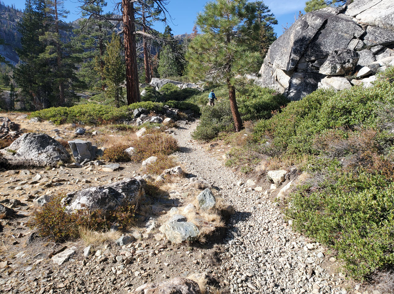
The first section of the Glen Alpine trail is very rocky and gains elevation constantly along the way. |
 |
| About
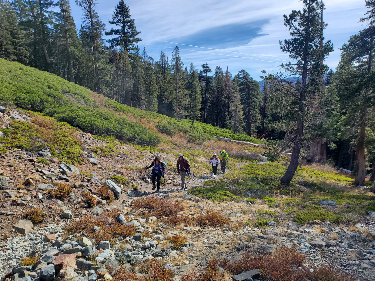
a mile into the hike you will find a first junction where a trail you do not want heads off to the west toward Grass Lake. While this is a worthy destination, it is not where you want to head today. Continue on the trail up toward Mt. Tallac. | 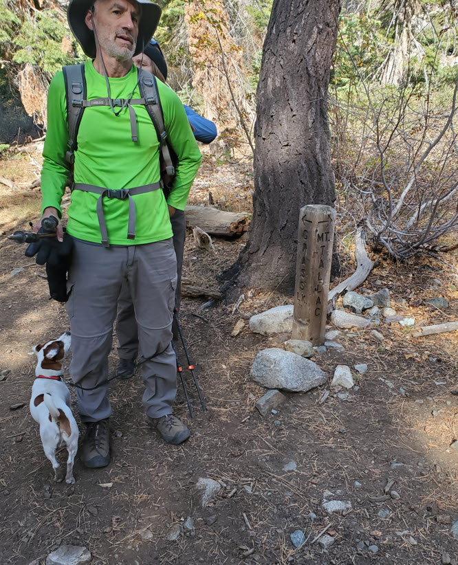 |
| Continuing up the trail with the constant elevation gain you are rewarded with views off to the west of the Crystal Range, with Pyramid Peak just visible off in the distance to the left. | 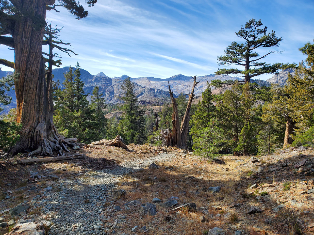 |
|
At this next junction follow the trail on the left toward Half Moon Lake. The trail to the right continues on the PCT up toward Dick's Pass high above. |
 |
|
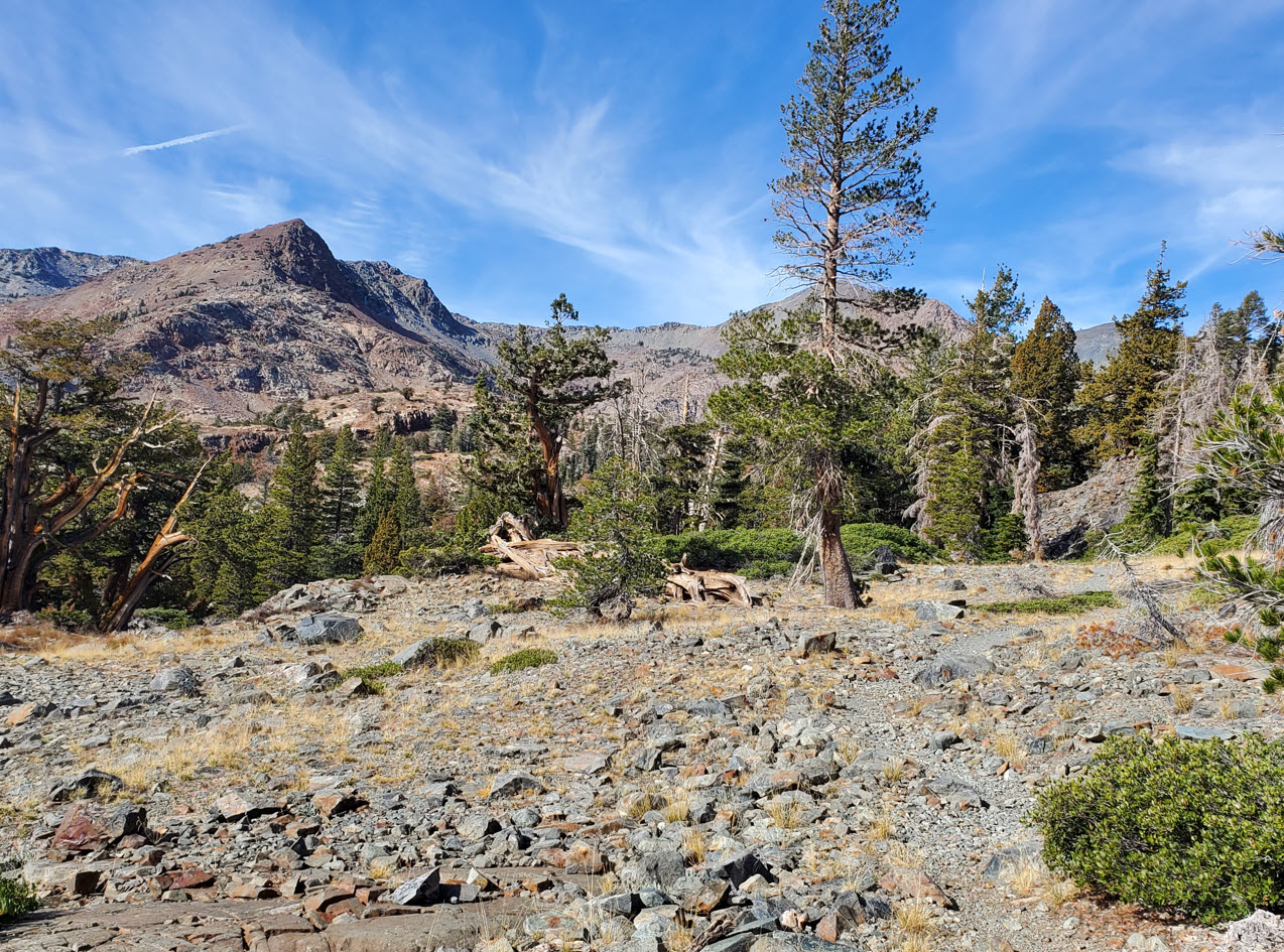
Soon enough the trail will open up as you near the open bowl at the base of Jack's and Dick's peaks where the lake is situated. |
 |
|
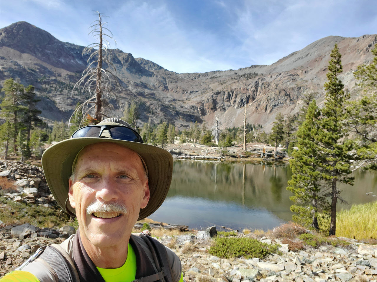
Both Jack's Peak and Dick's Peak are visible as you reach the lake area. |
 |
|
Nobody around but our group when we reached the lake, and we enjoyed having all of the sights and area to ourselves the entire time we were there. |
 |
|
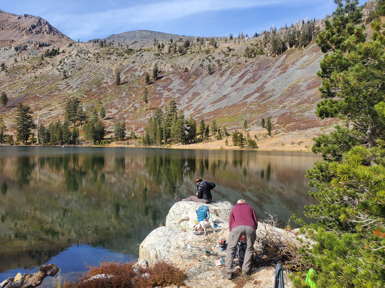
After taking some time to find the perfect spot for lunch, we set up for the time being and enjoyed being immersed in the beauty of the area. |
 |
|
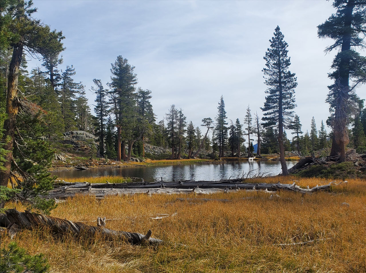
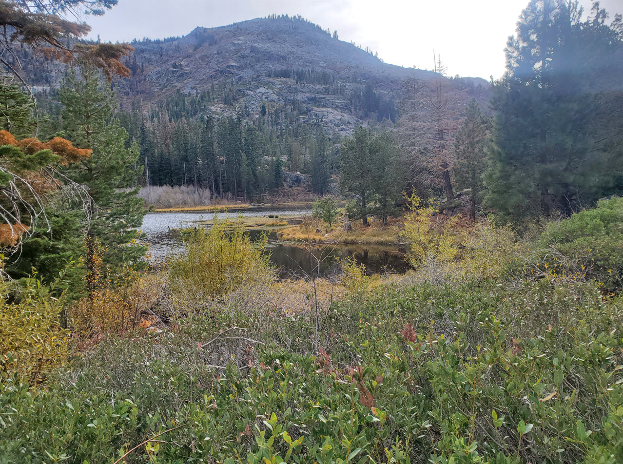
On the way out we passed by a couple of unnamed ponds. |
 |
|
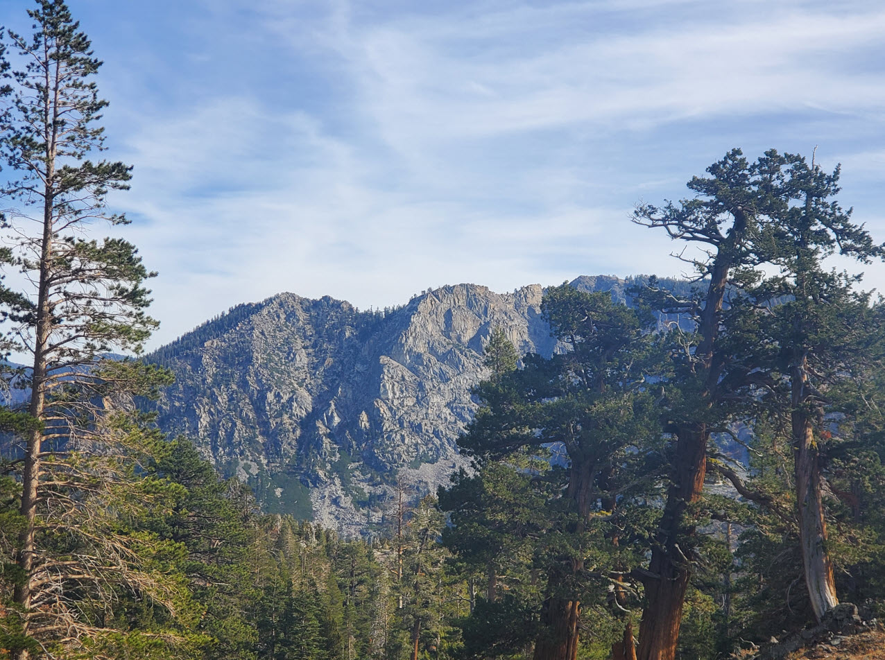
Heading back the way we came we were rewarded with clear views of the Angora Ridgeline across the valley from our trail. |
 |
|
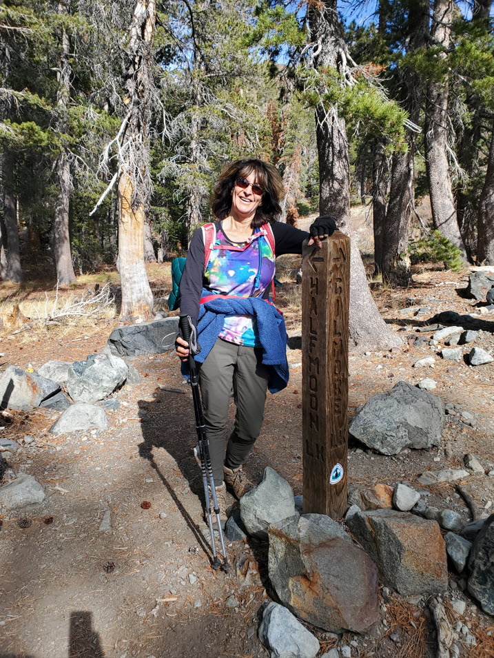
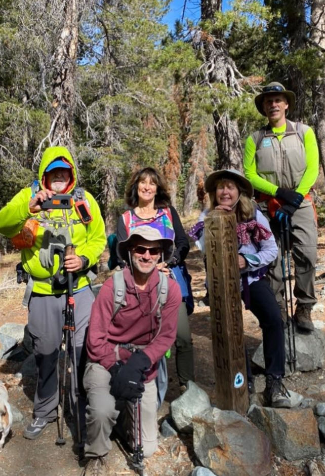
Had to stop for a (mostly) complete group shot at the junction of our trail with the one headed to Grass Lake. |
 |
|
Once back to Lily Lake the trip is nearly complete, as the parking area is just at the eastern end of the lake. |
 |
|
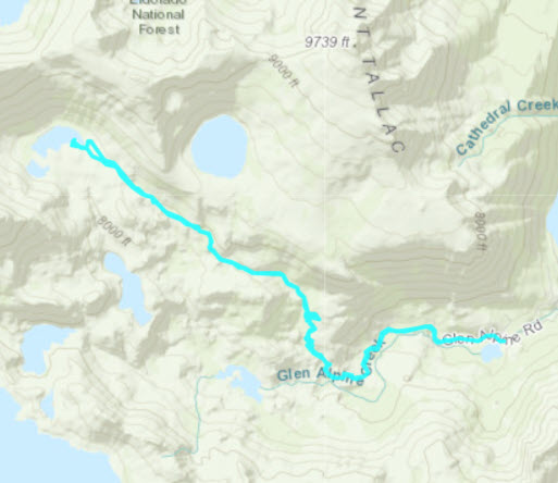
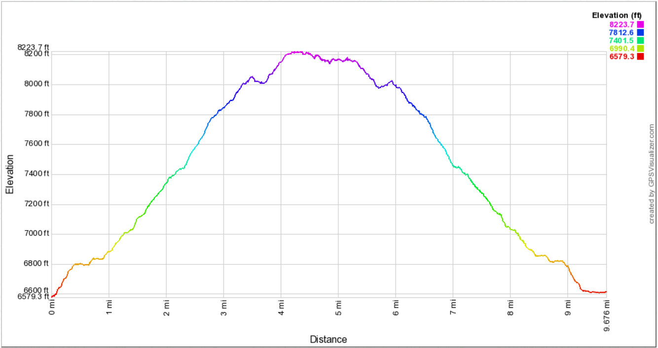
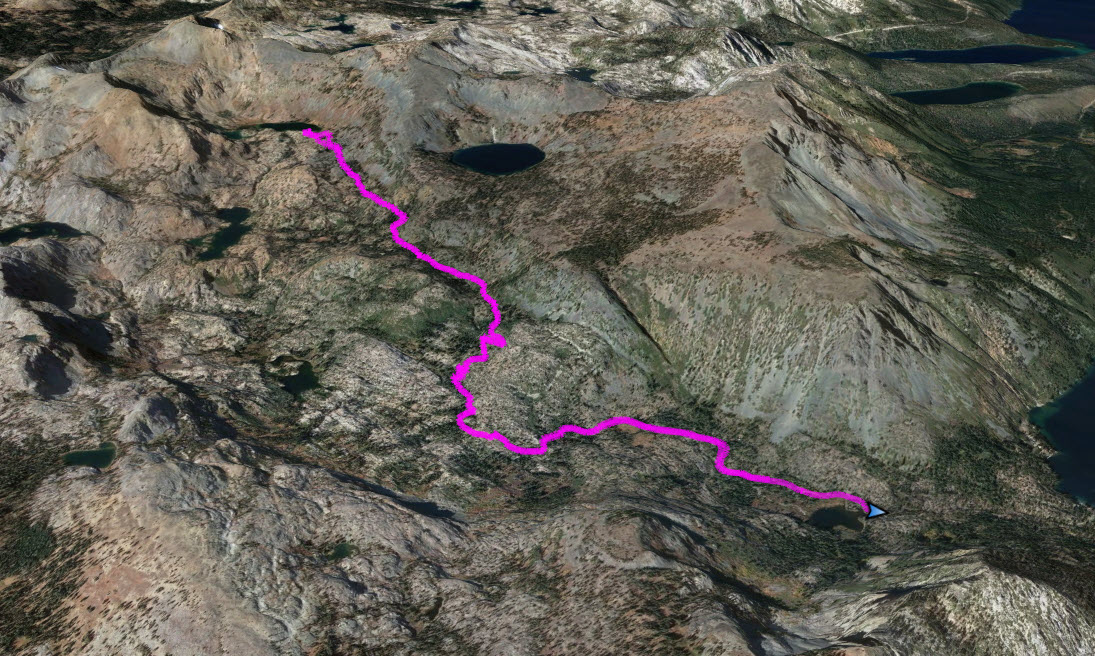
GPS track of the hike. |
 |