 |
Grouse
Lake Hike
|
|
Trip Date: 08/12/2017
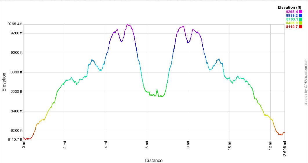
Distance: 12.5 Miles
Vertical Gain:
1100'
Group Size:
3
Hike Rating: Easy
Moderate
Hard
Strenuous |
 GPX
for
this trip GPX
for
this trip |
|
| Start
Coordinates: |
N 38 38.446, W 119 57.300 |
|
End
Coordinates: |
Same as Start Coordinates
|
| Car
Shuttle
Req'd: |
No |
|
Parking
Directions: |
Take
Highway 88 to Blue Lakes road and turn south. Follow the road
for
a little more than 15 miles to the parking area on the left between the
two lakes. There is a sign here on the right for
the middle campground area.
|
|
| Hazards
of
Note: |
Water crossing in early
summer. Mosquitos, ticks, and trail navigation the last mile
to Grouse Lake.
|
|
Crowd
Factor: |
Moderate to Minimal past
Granite Lake.
|
General
Notes:
From
the parking area, head west across the metal bridge spanning the
outflow from Upper Blue Lake to find the trailhead sign just on the
other side. If the water crossing over the creek out of the
lake
is too high to easily cross, from the trailhead sign head parallel
along the actual dam and cross a bridge right at the base of the dam at
a small structure. Pick up the trail on the other side and
head
along the creek until this use trail meets up with the regular
path. The first mile will take you through a forested section
until you reach the signed boundary for the Mokelumne
Wilderness.
Soon after this point you will pass on the south side of a small,
unnamed pond, and then begin a gradual climb into more and more open
area up to the spot about 2 miles along the trail where you reach
Granite Lake. This is a popular spot for people to camp or
day
hikers to turn around at, but you will follow along the south and then
west shores until you reach a junction off to the left which typically
has a stack of rocks (cairn) marking the junction.
From this point on the trail will become much less frequented, and you
will journey through a couple of meadows and wind around until you
begin a pretty constant uphill rise after 3 miles which will mostly
continue on up to the high point just past Deadwood Peak off to your
right. From this point, about a mile away from Grouse Lake
you
will begin a steep descent of about 700' in elevation over the last
mile to the lake.
|
|
|
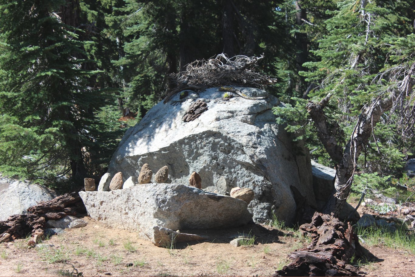
A very creative rock early on
the trail which has been decorated up to resemble a monsterous
character of some type.
|
 |
|
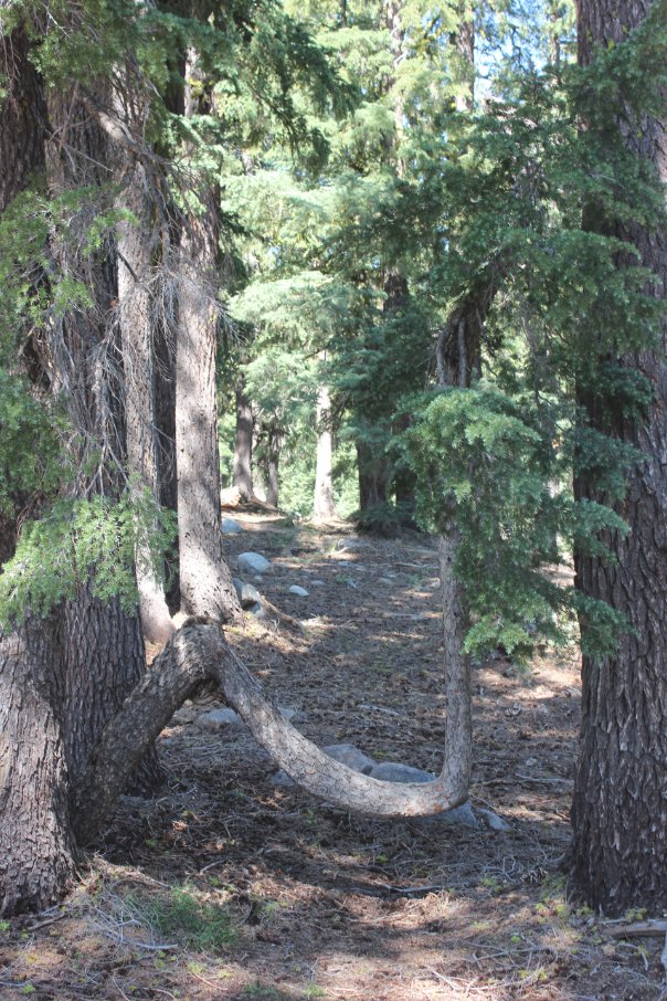
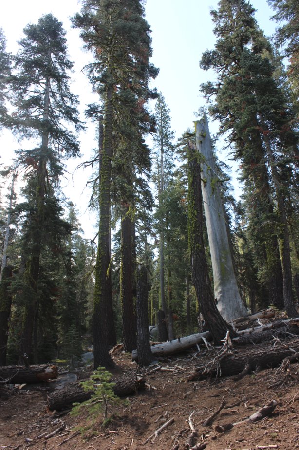
This tree is pretty tough and
has been able to survive some fairly traumatic events over its lifetime.
|
 |
|
With all of the rains this
last year this unnamed pond on the way to Granite Lake looks as nice
now as it ever has.
|
 |
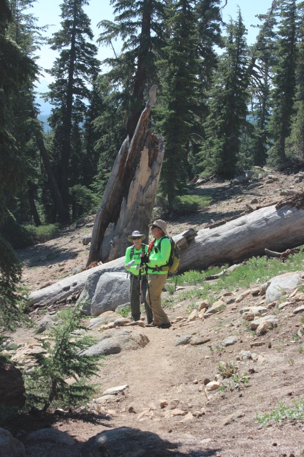
|
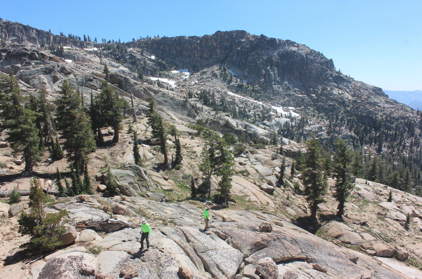
Greg and Mark on the trail as
the elevation gain begins in earnest.
|
 |
|
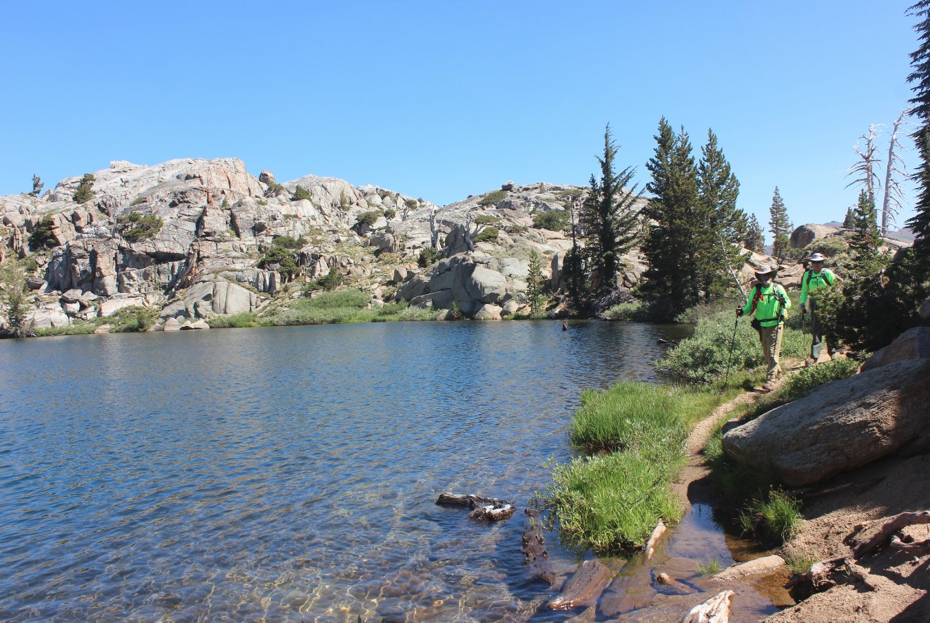
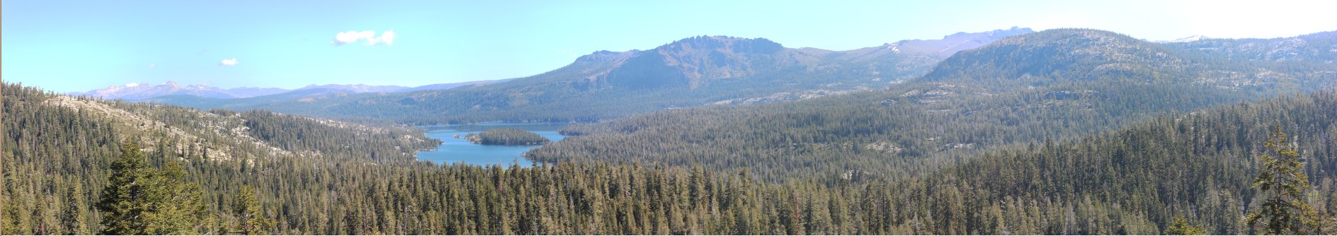
A nice look at the east end of
Granite Lake from the south part of the trail.
|
 |
|
A
little ways past Granite Lake is an overlook of Meadow Lake and Jackass
Canyon off to the left, which also has cell service coming from far off
Mt. Reba.
|
 |
|
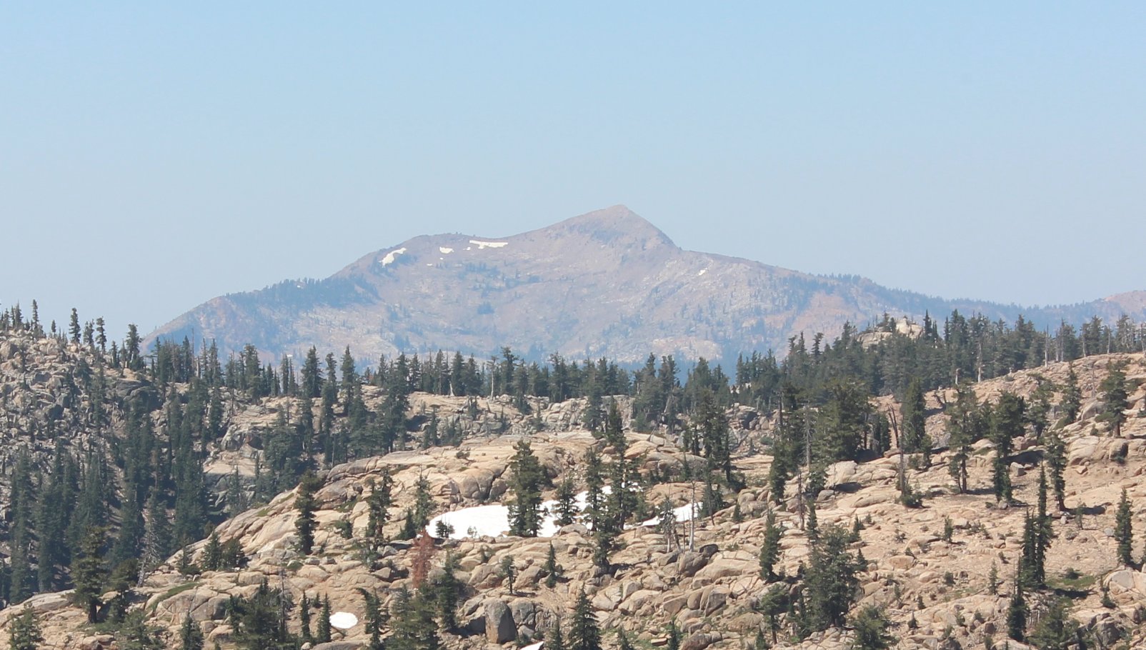
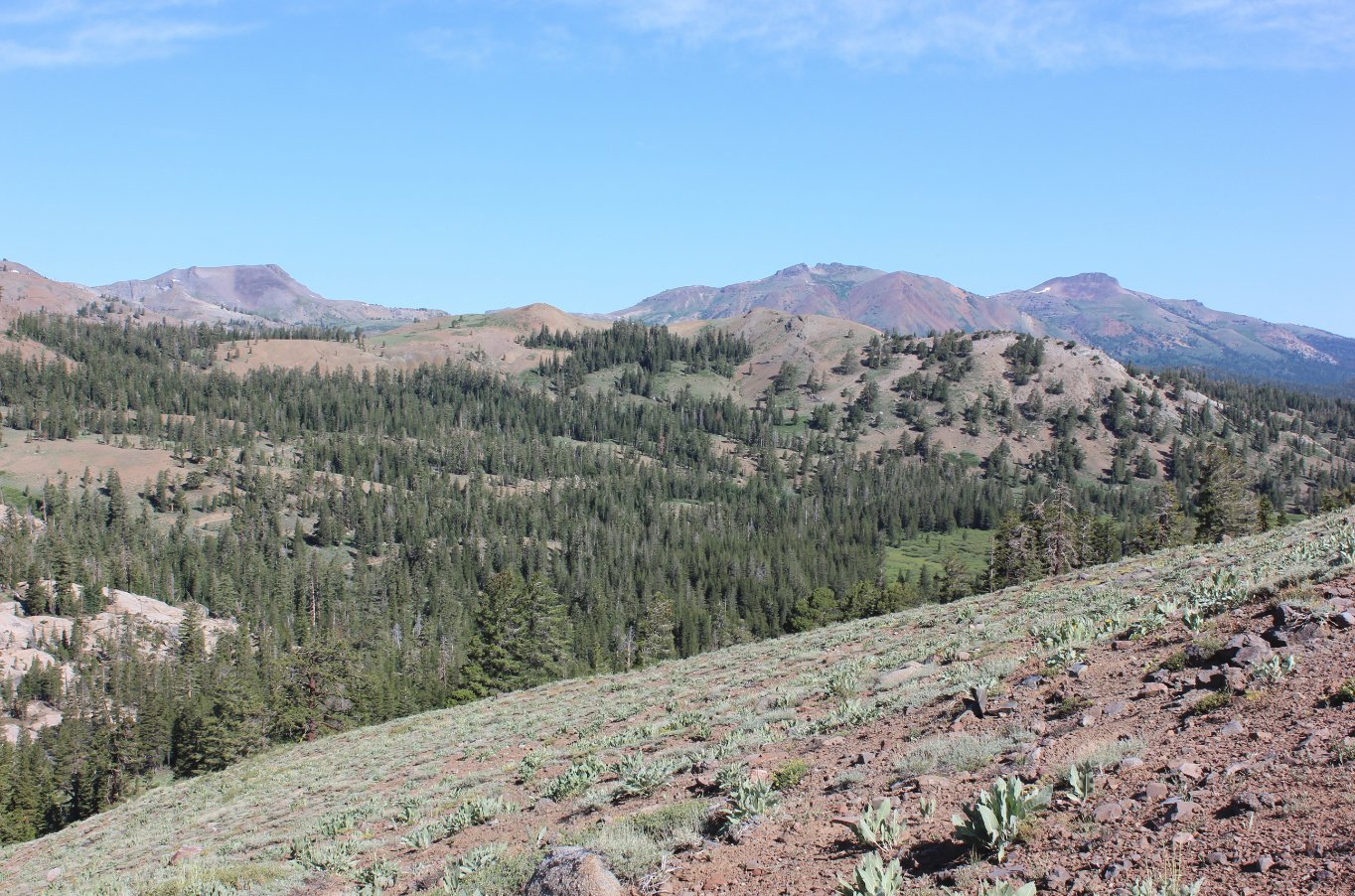
A look southwest toward
Mokelumne Peak from a vantage point a little ways past Granite Lake.
|
 |
|
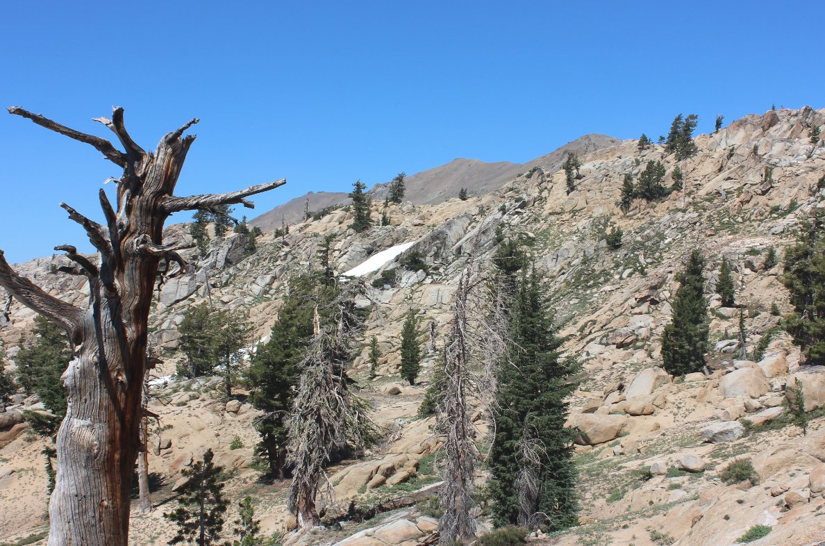
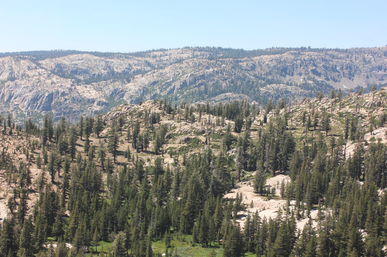
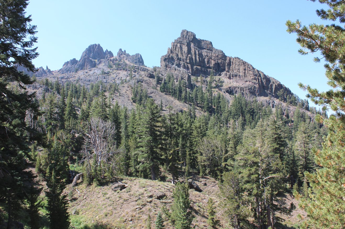
As the trail climbs higher
past Granite Lake some good views of Deadwood Peak appear to the north.
From the high point of the trail here you can make a worthy
cross-country trek up to the top of this peak.
|
 |
|
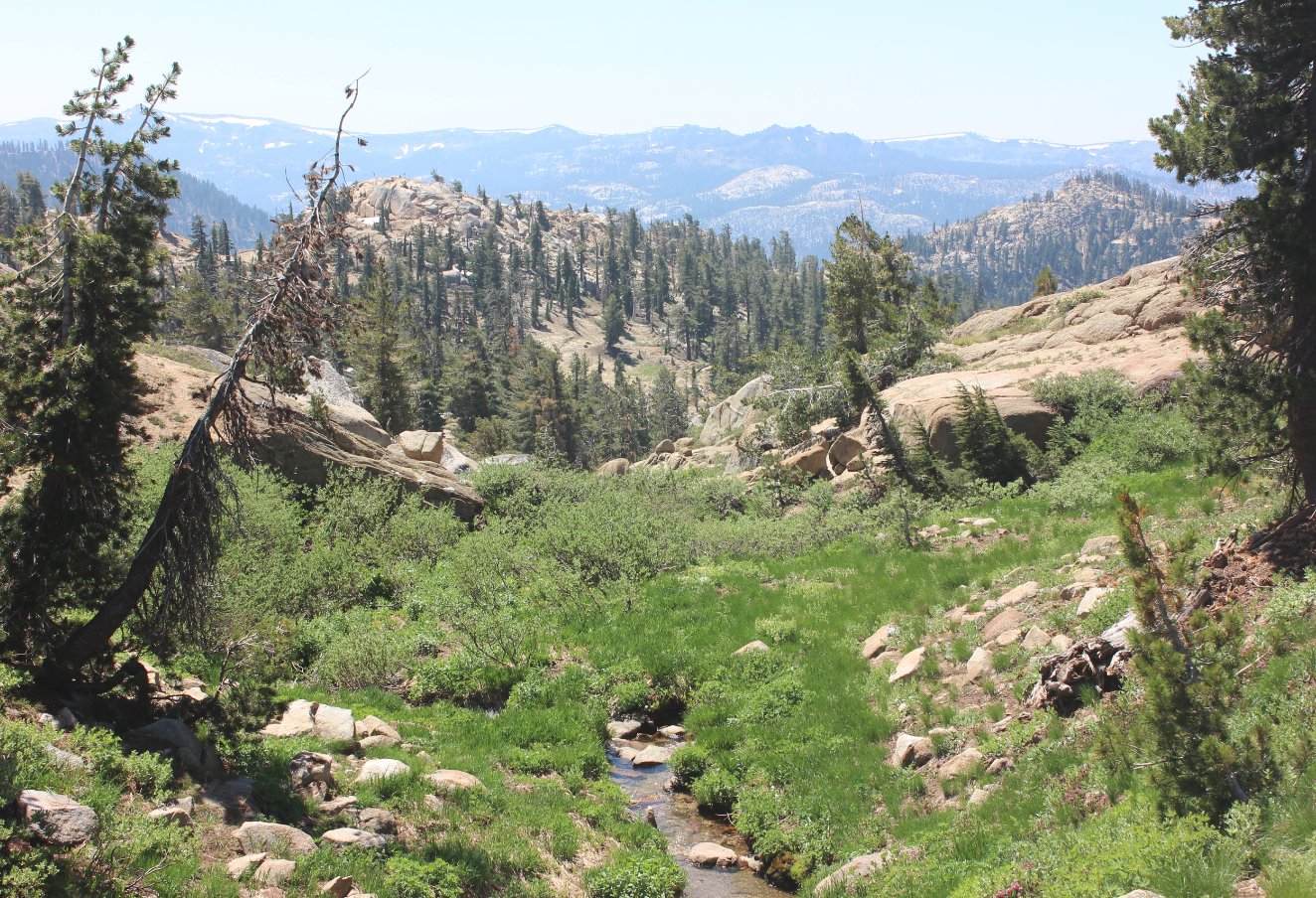
A series of springs which
cross the trail along the the base of Deadwood Peak provide a bonanza
of meadows and wildflowers.
|
 |
|
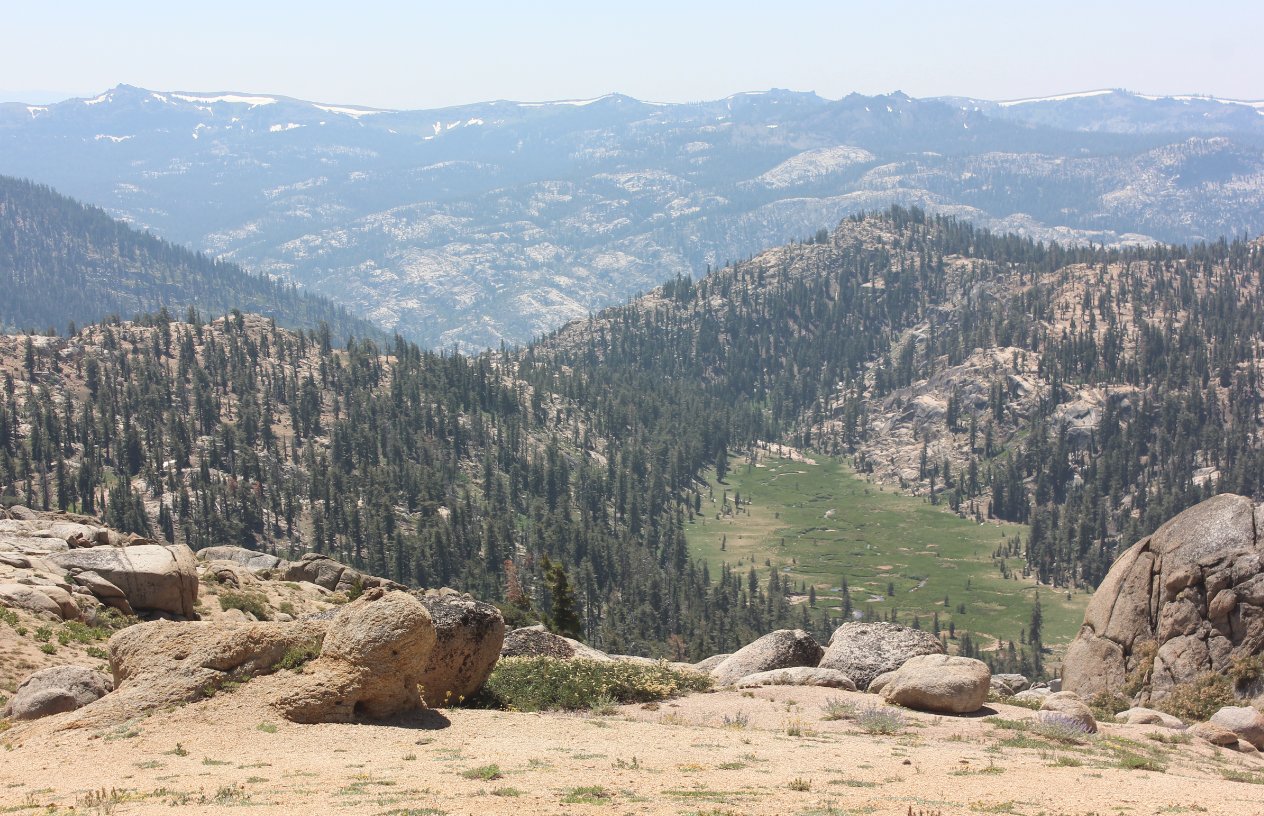
An unnamed meadow far below
the trail is the benefactor of a number of the springs from Deadwood
mountain. Jackass canyon can be made out in the distance as
well as Mt. Reba in to the far left.
|
 |
|
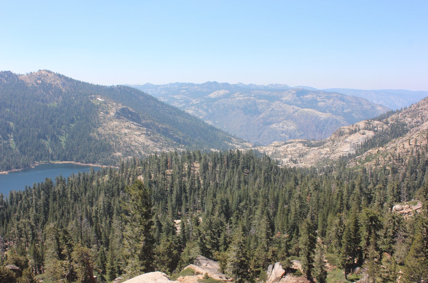
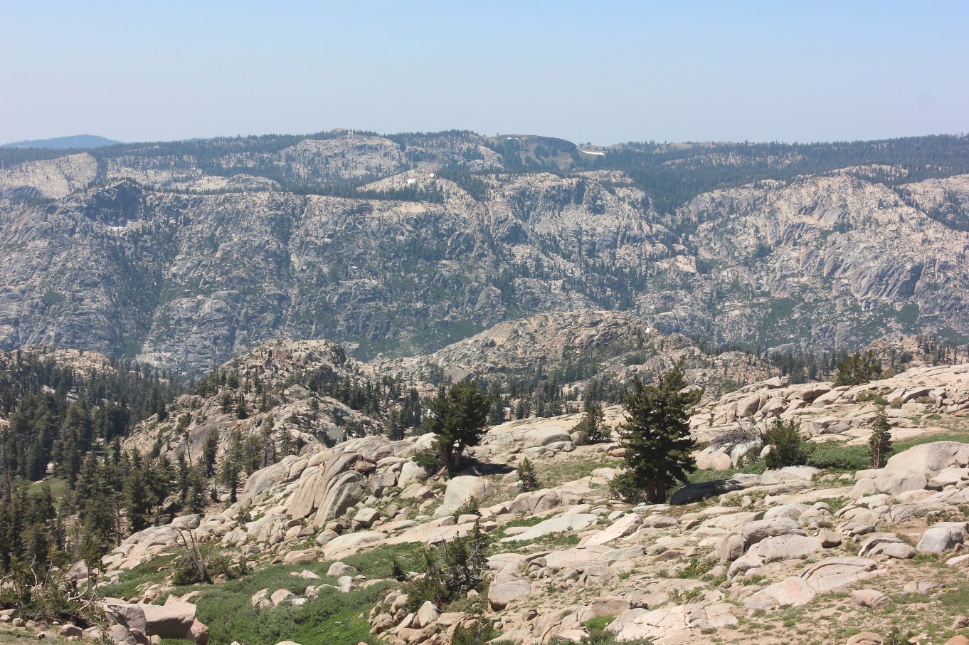
Beginning the final descent
down toward Grouse Lake there are great views of Summit City Canyon in
the distance, near where Telephone Gulch drops down from near the
western area of the Mokelumne Wilderness.
|
 |
|
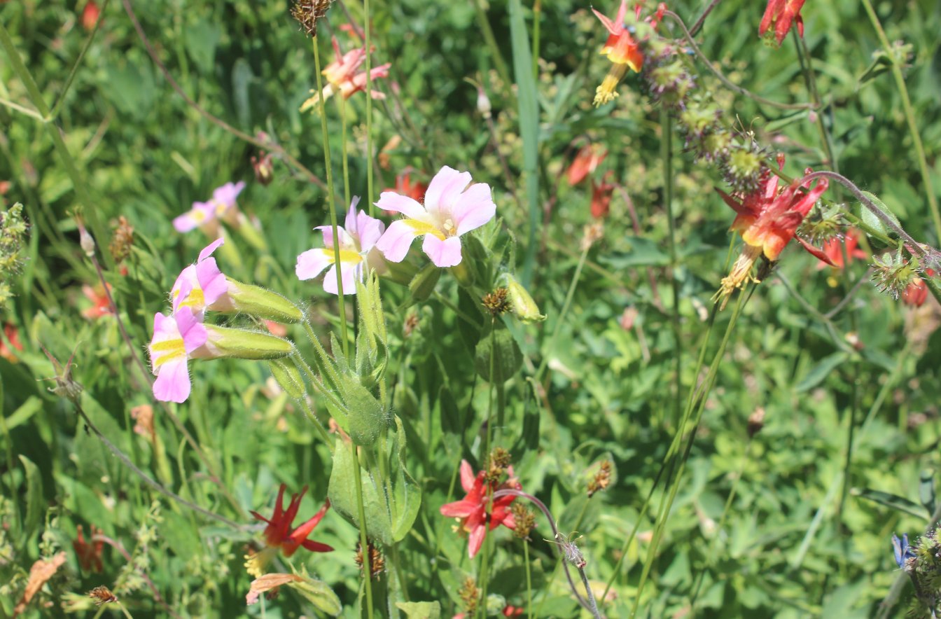
Just a small sampling of the
bounty of wildflowers found all along the trail, including these pink
flowers surrounded by columbine.
|
 |
|
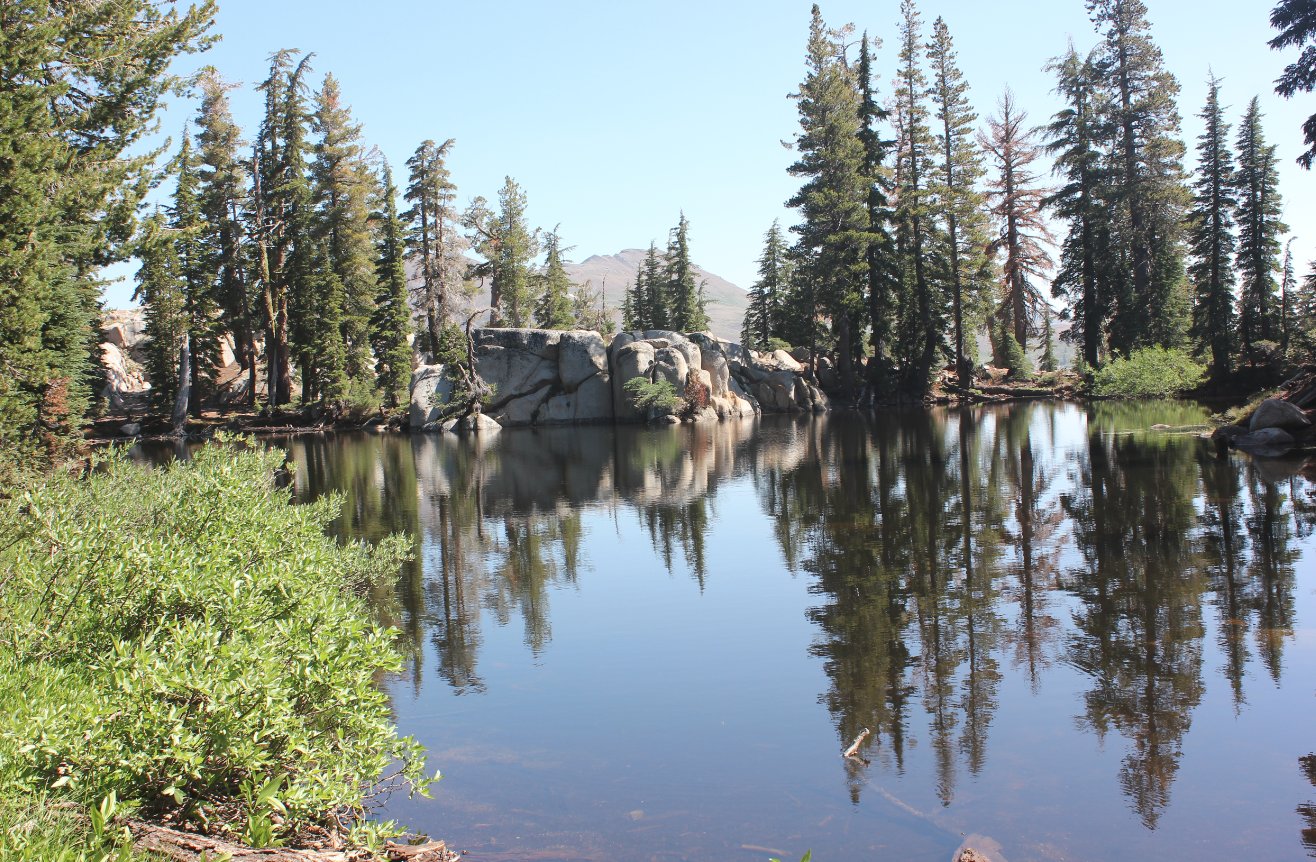
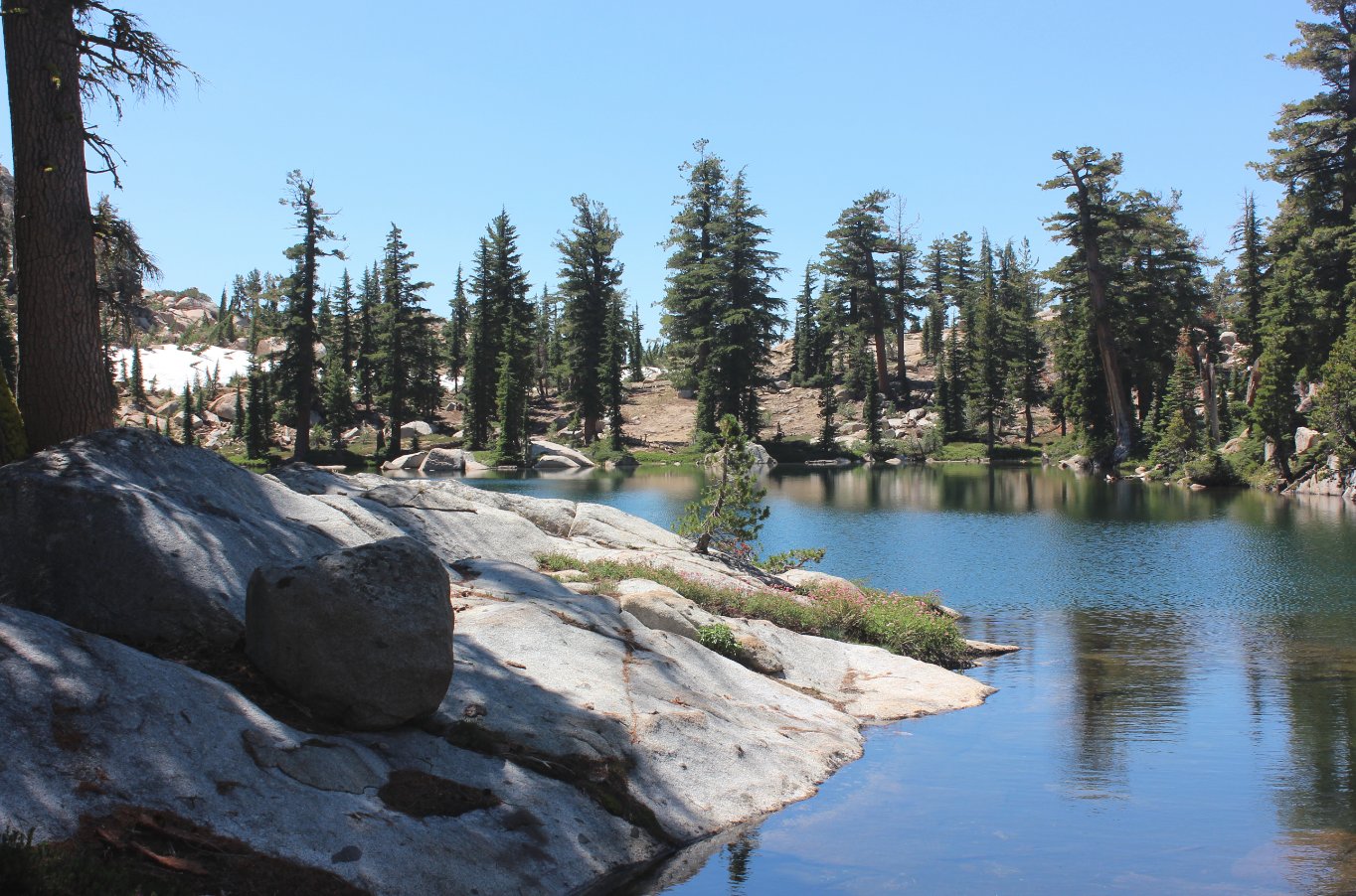
The first look at the
picturesque setting of Grouse Lake tucked into a granite bowl.
|
  |
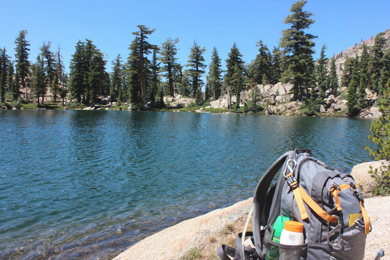
|
A great spot for a lunch stop
on the eastern end of the lake.
|
 |
|
Mark offering some information
on this area of the Mokelumne Wilderness.
|
 |
|
There was a high viewpoint
past the western end of the lake that we thought would provide a good
look down into Summit City Canyon. What it provided was a
great view of the mile of terrain before
we would be able to look down into the canyon.
|
 |
|
Mark and Greg B exploring the
area past the lake on the western end.
|
 |
|
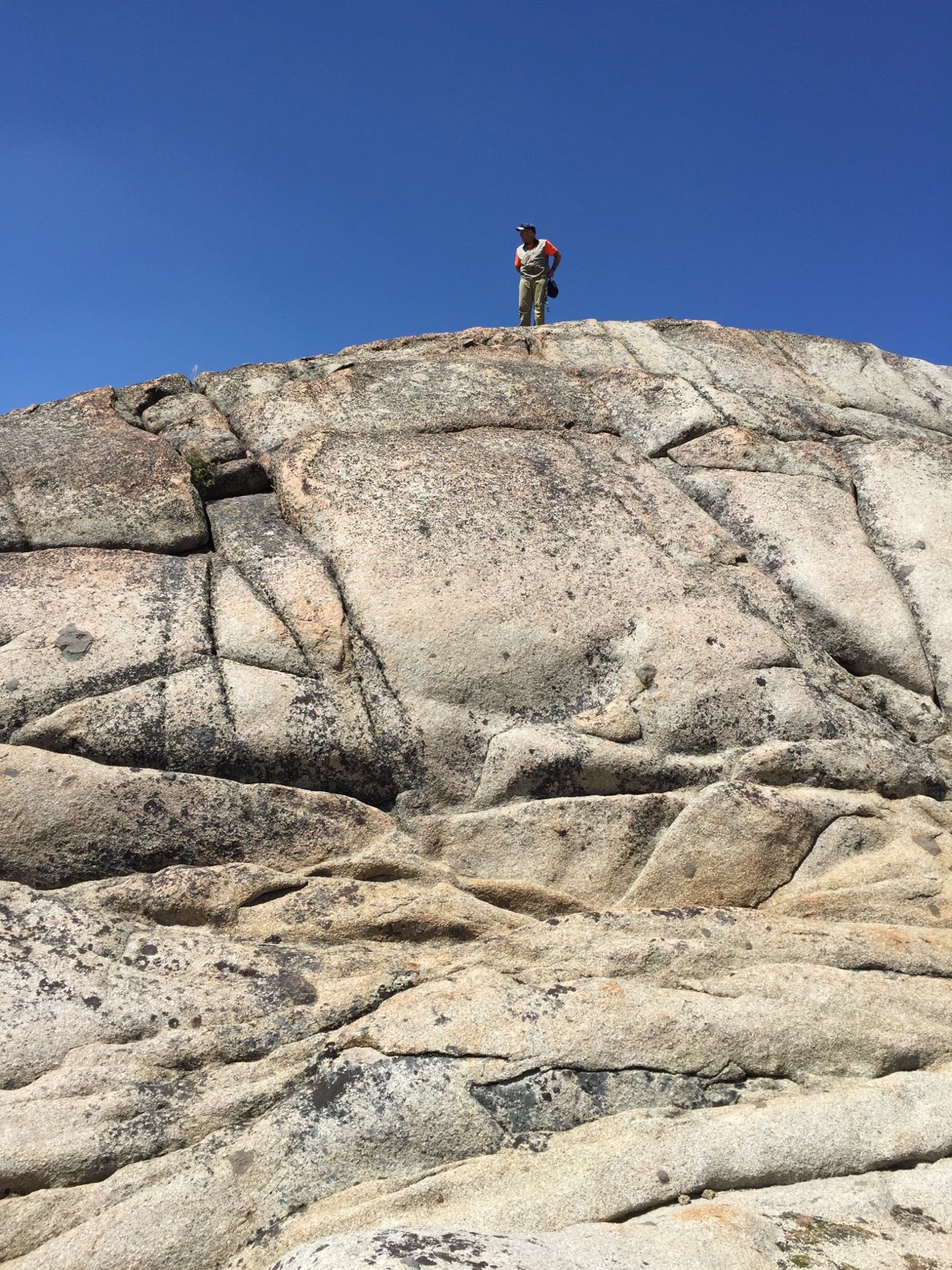
My vantage point past the lake.
|
 |
|
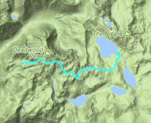
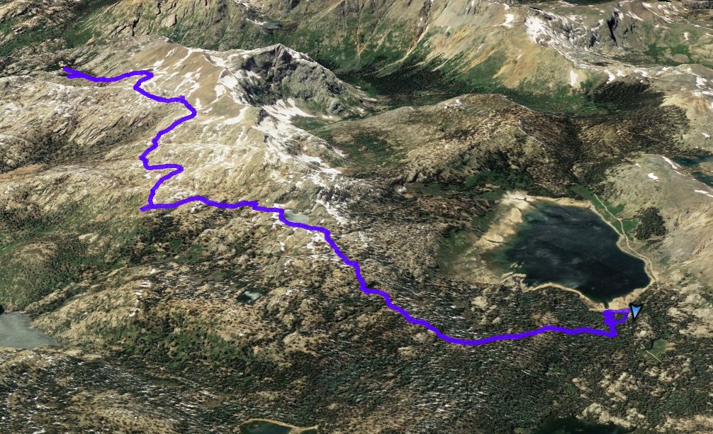
GPS
Track of the full
hike. |
 |