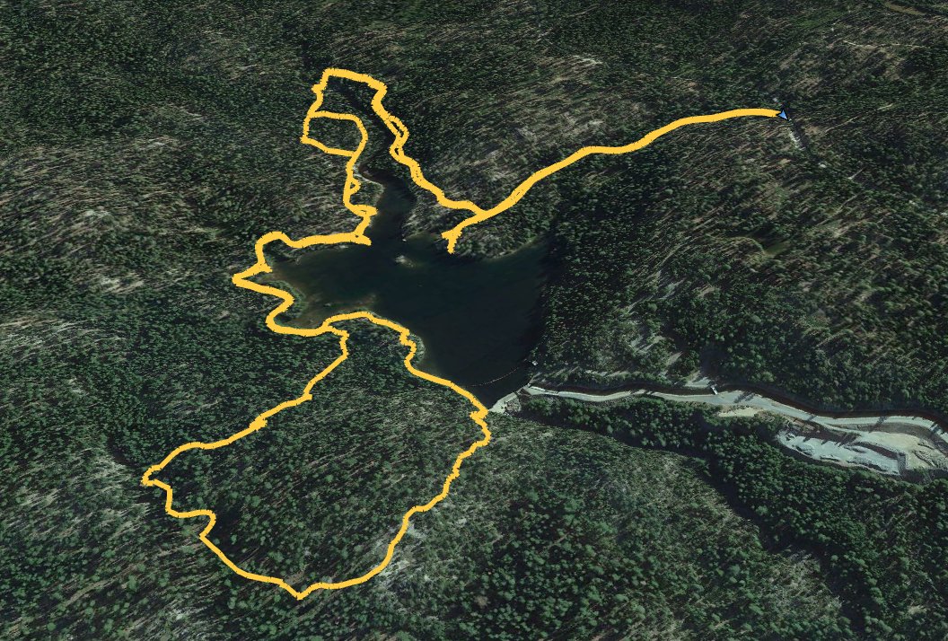
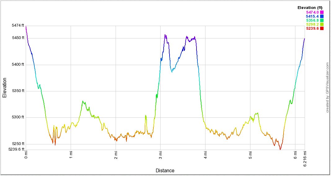
Distance: 6 Miles
Vertical Gain: 1200'
Group Size: 3
Hike Rating: Easy Moderate Hard Strenuous
 GPX
for
this trip
GPX
for
this trip
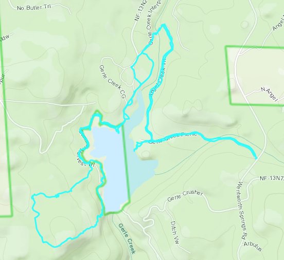
| Start Coordinates: | N 38 58.253 W 120 23.457 (or if gate is closed park at N 38 58.183 W 120 22.893) |
End Coordinates: | n/a | ||
| Car Shuttle Req'd: | No | Parking Directions: | Take Highway 50 to Ice House Road. Drive north for about 20 miles, turning left at the junction of Wentworth Springs Road where Loon Lake would be toward the right. Take the second left into the day use area to the parking coordinates listed. | ||
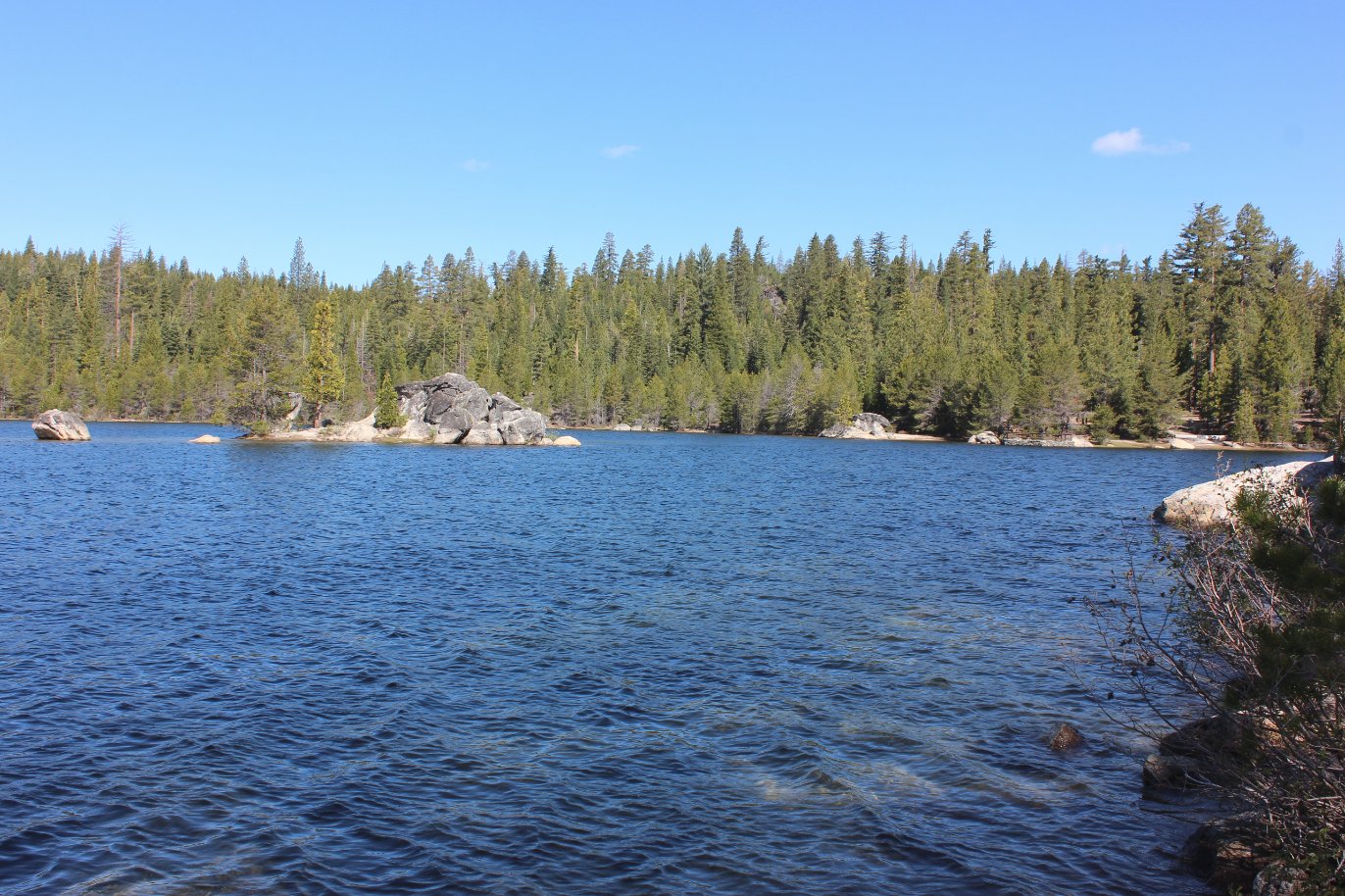
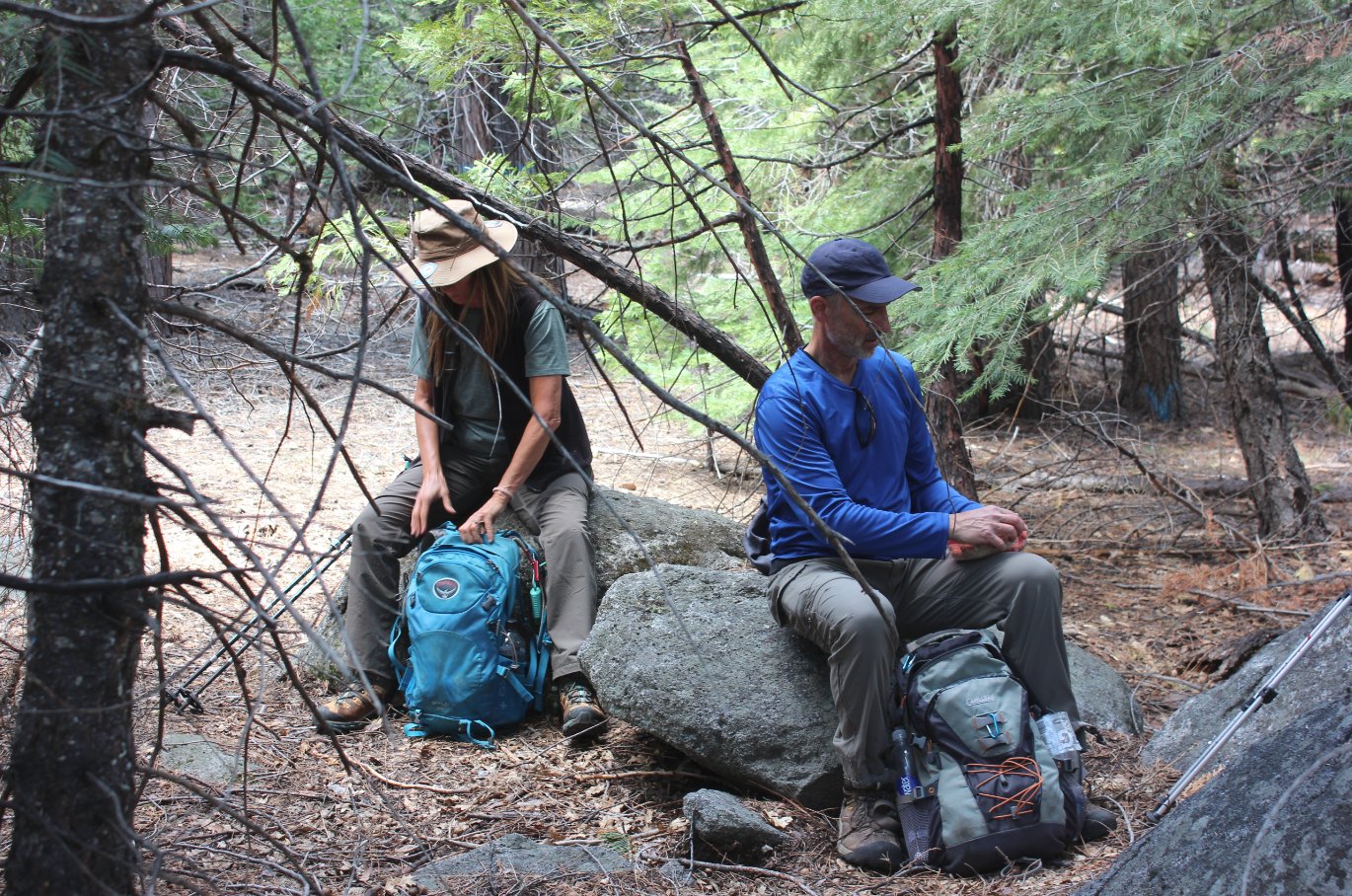
| Hazards of Note: | Proximity to a large lake and crowds in the summer. | Crowd Factor: | High. This is a popular area used by both day hikers and overnight camping groups. | ||
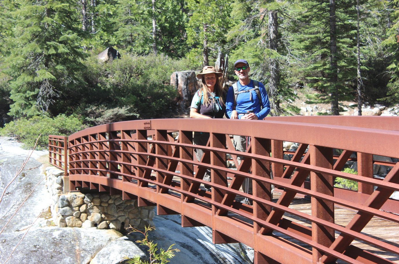
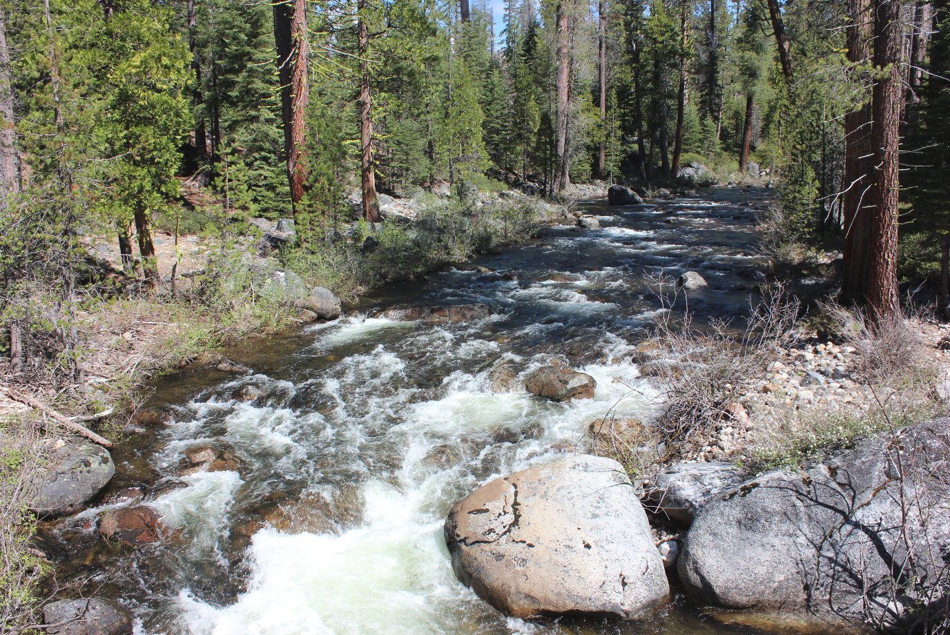
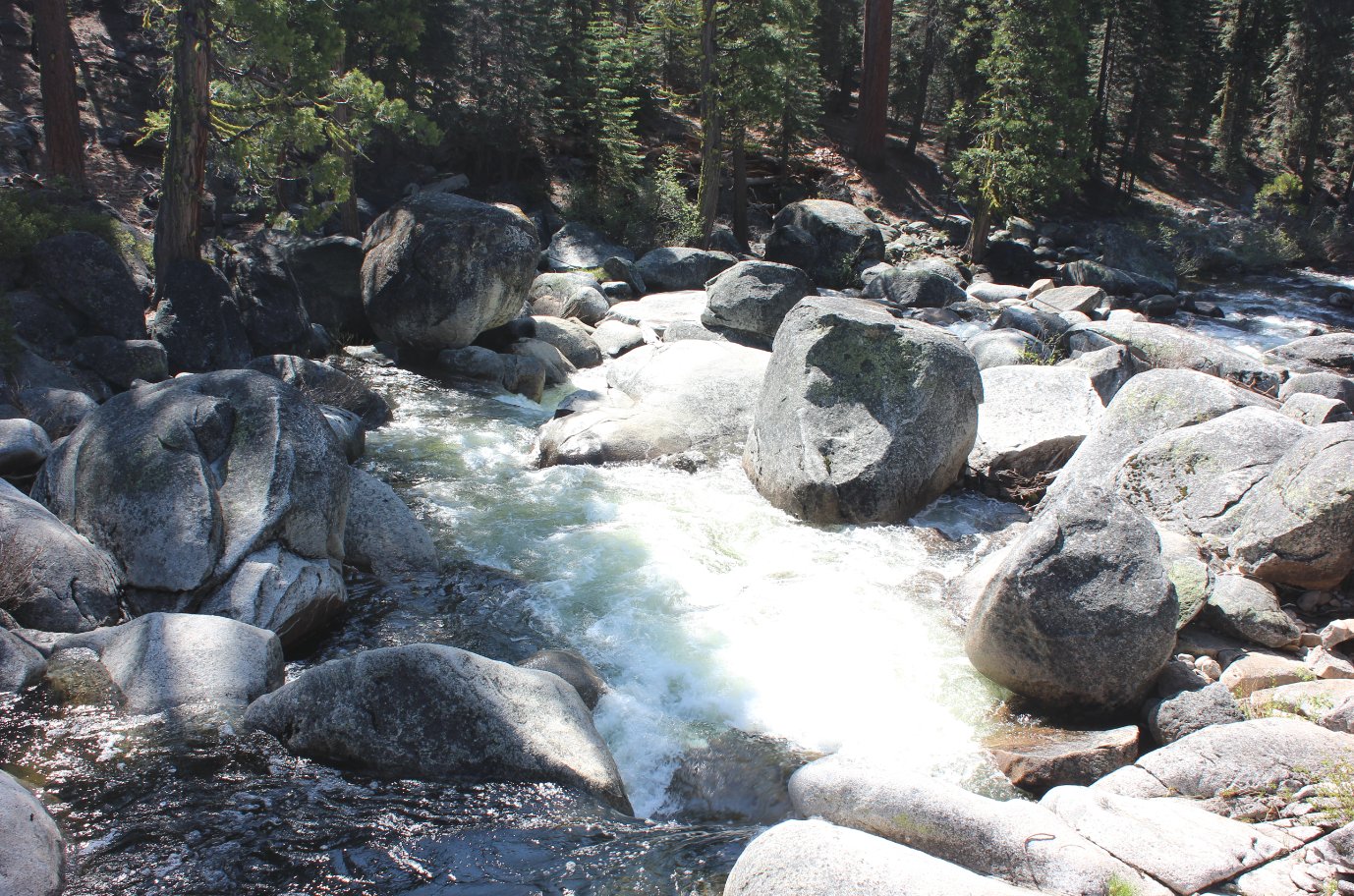
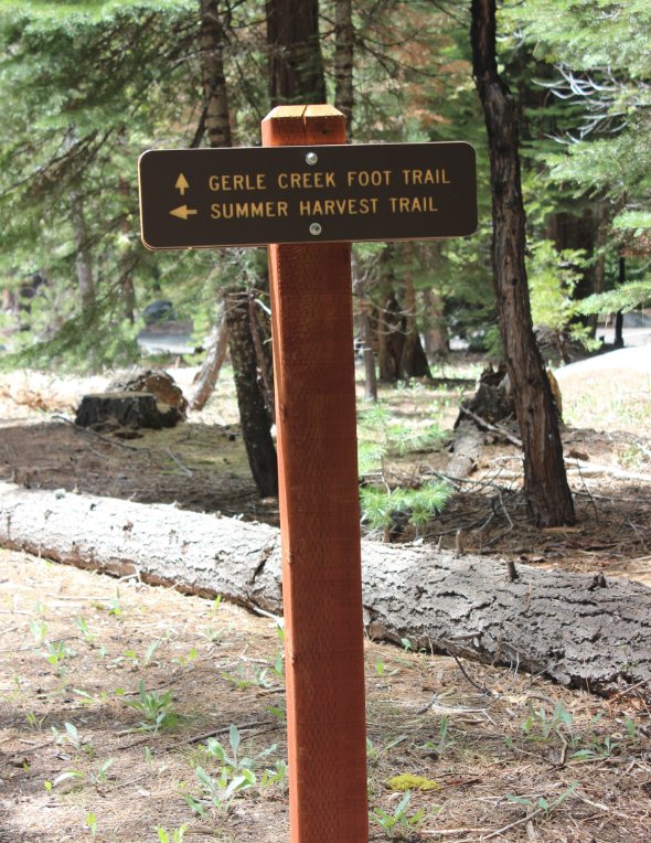
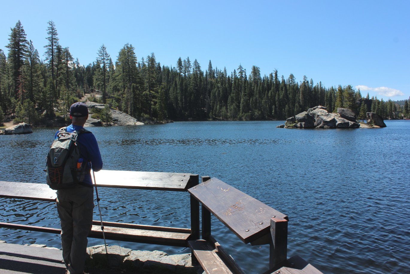
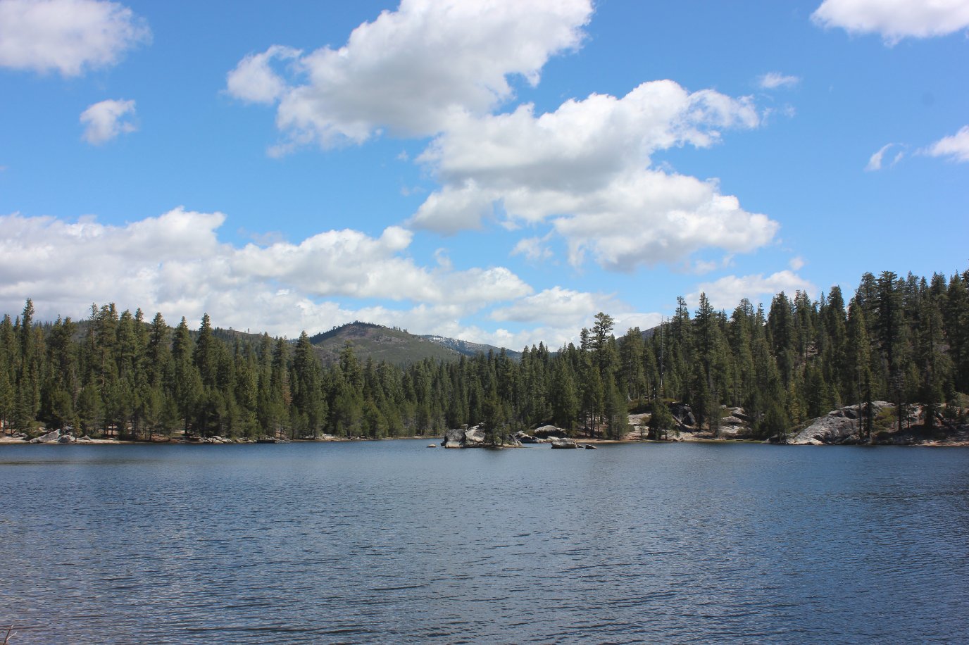
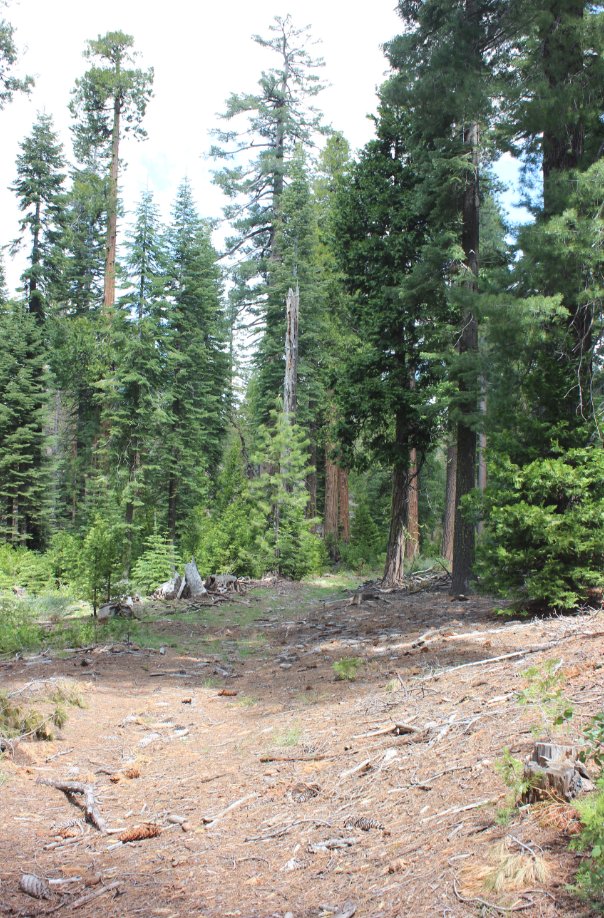
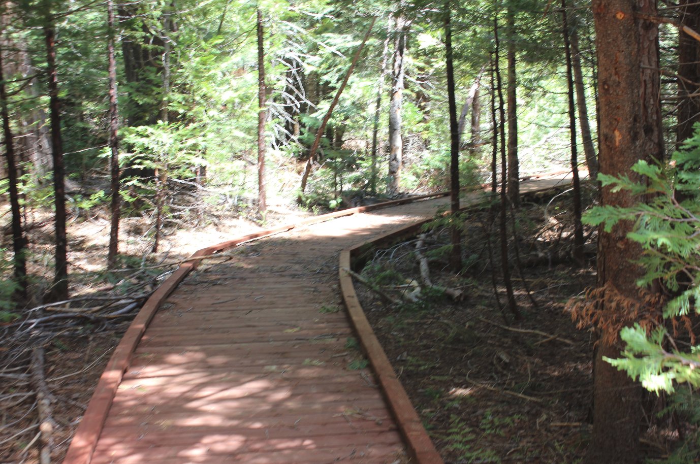
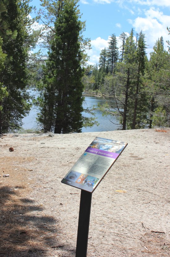
| General Notes: From the parking area find the start of the trail which heads north along Gerle Creek. The trail winds north for about 1/2 mile before crossing the river at a large bridge. After crossing the bridge the trail will head back south, and you will pass a junction which leads to the Airport Flat camping area off to the right. Keep on the trail, and at the signed junction to the Summer Harvest Trail turn left. This will help you avoid walking through the campground for much of the next half mile. Once you reach the end of that section of trail continue on the road past the day use area and pick the interpretive trail up just past a small dock jutting out into the water. From this point the trail will head along the western side of the lake almost to the dam. Turn around and head back from here, or if you follow the GPS tracks on this site it will take you down past the dam and cross country to find the remnants of an old path called the Dry Lakes trail on many older maps. |
|||||