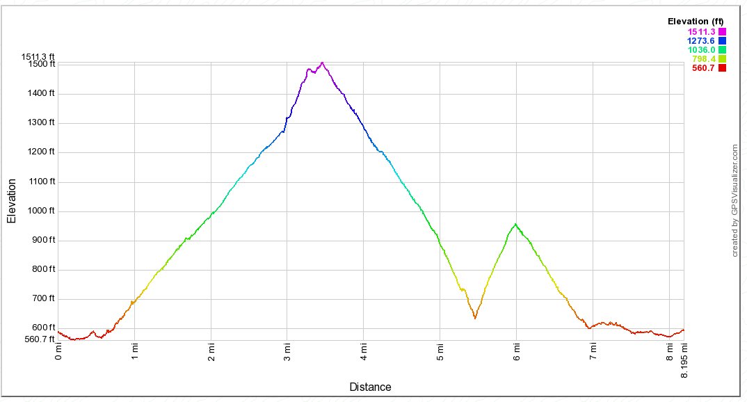
Distance: 8.0 Miles
Vertical Gain: 1900'
Group Size: 4
Hike Rating: Easy Moderate Hard Strenuous
 GPX for
this trip
GPX for
this trip
| Start Coordinates: | N 38 54.901, W 121 02.379 | End Coordinates: | Same as Start Coordinates | ||
| Car Shuttle Req'd: | No | Parking Directions: | Take Highway 49 from Coloma toward Auburn. Right before the junction with highway 193, there is a wide area on the left side for free vehicle parking. Get there early, especially on a weekend or the space will be filled. | ||
| Hazards of Note: | Rattlesnakes, ticks, poison oak, mountain lions. | Crowd Factor: | Moderate. This entire area is popular with hikers, runners, mountain bikers and dog walkers. | ||
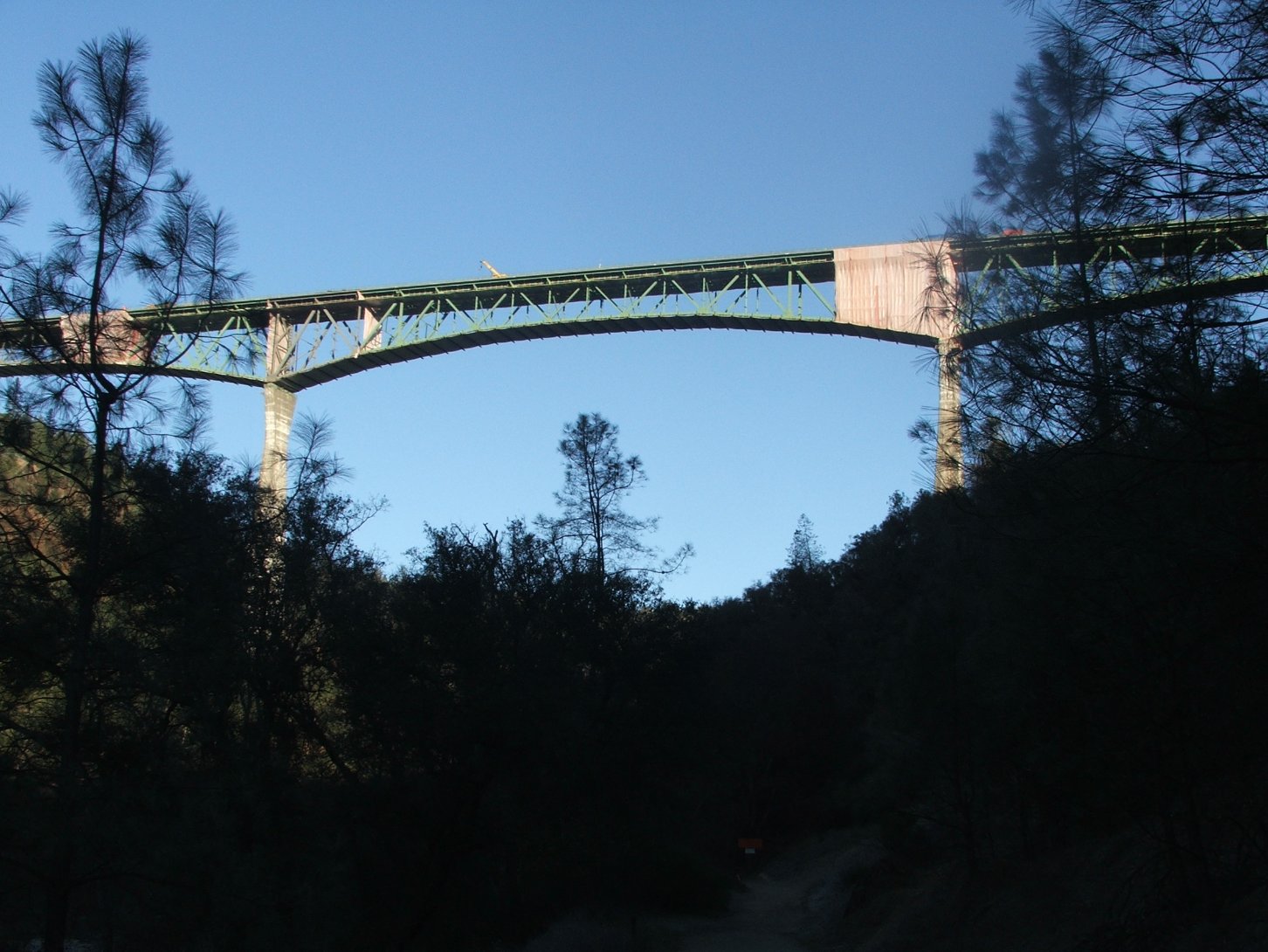
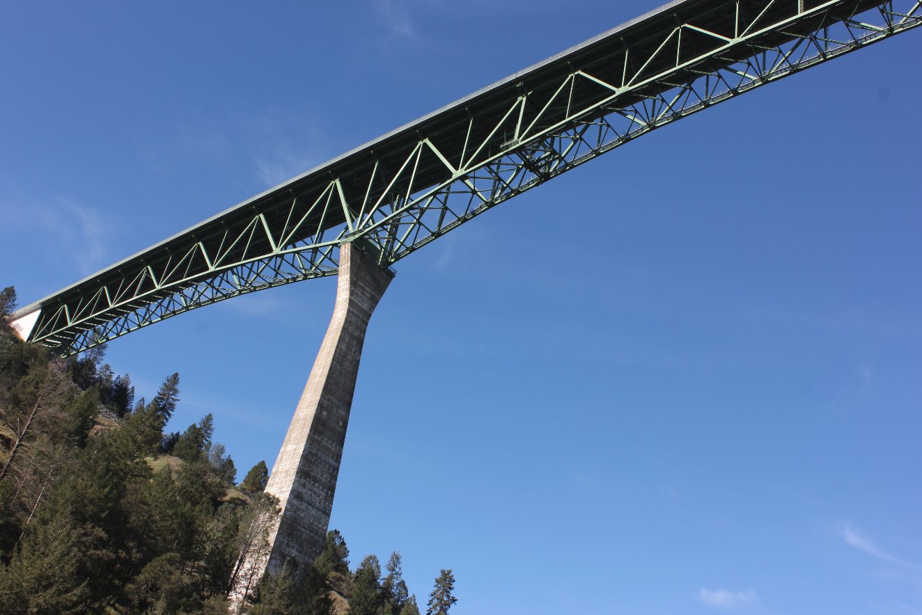
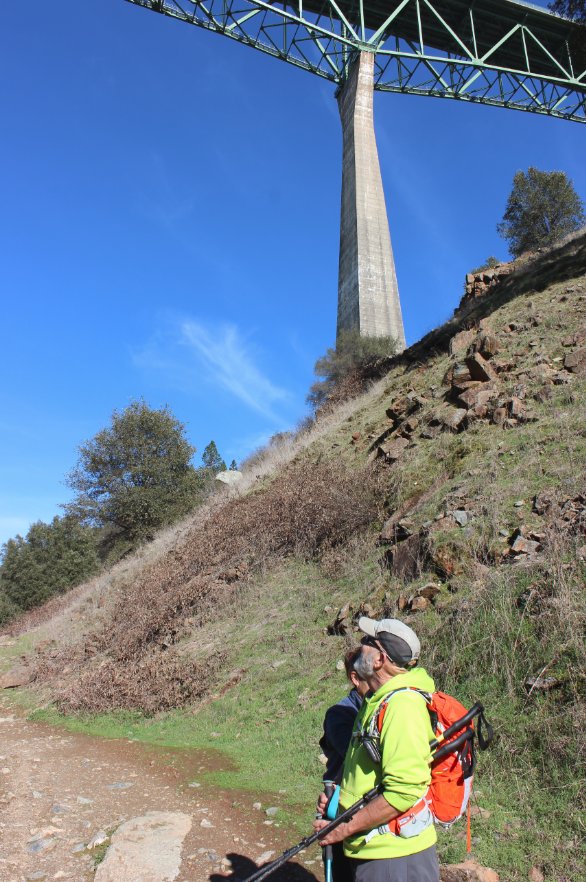
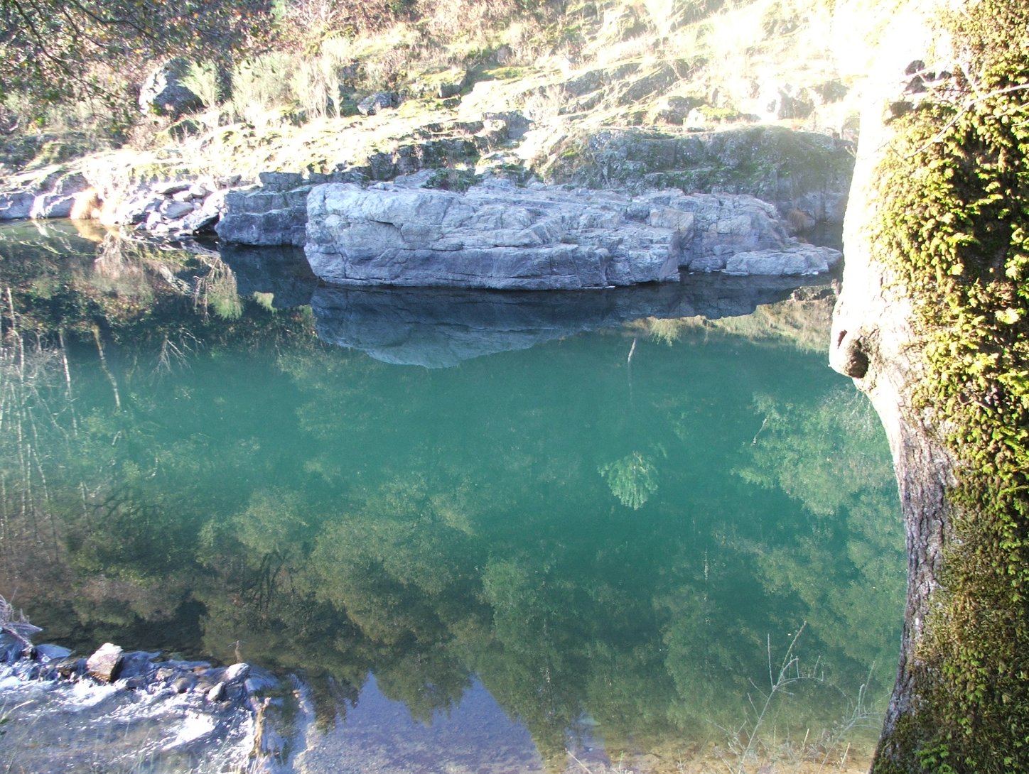
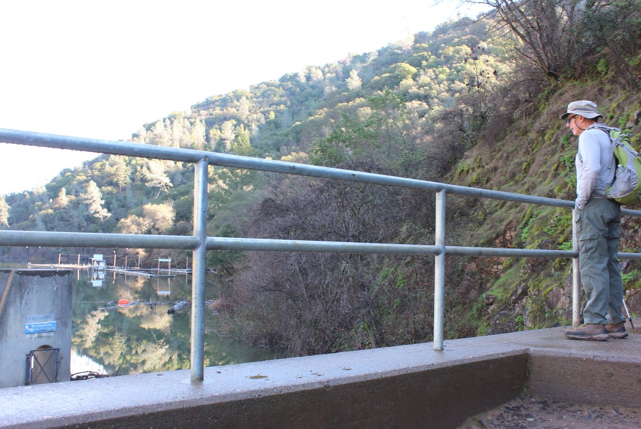
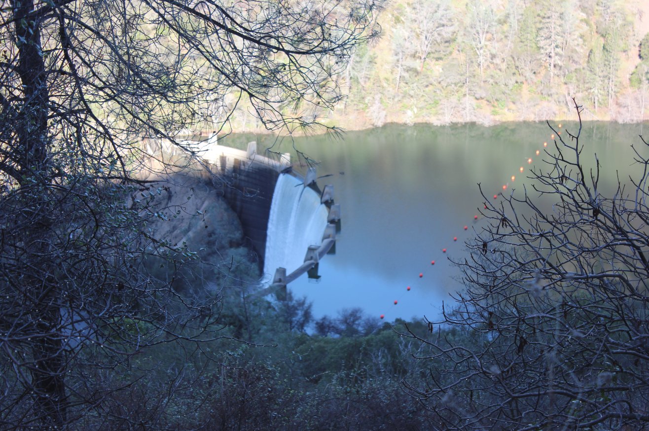
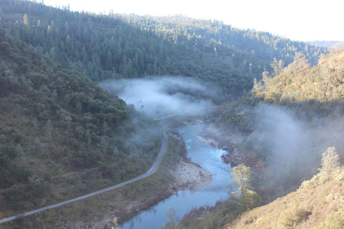
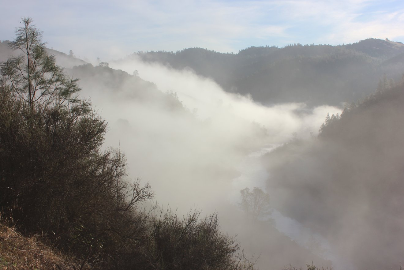
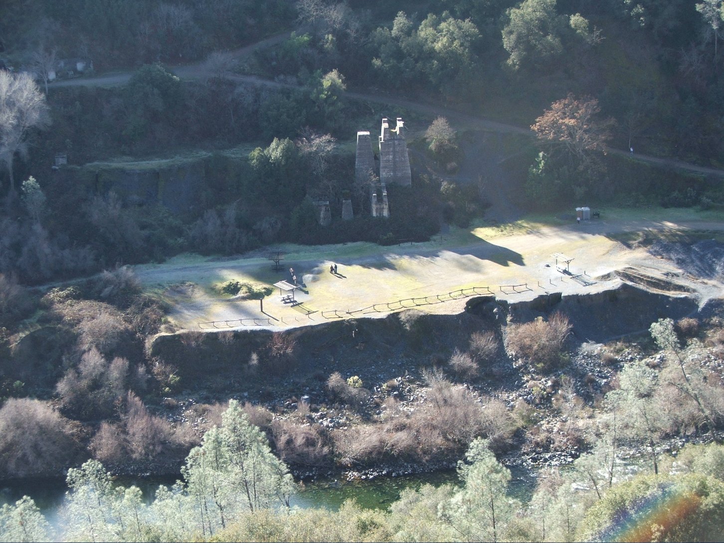
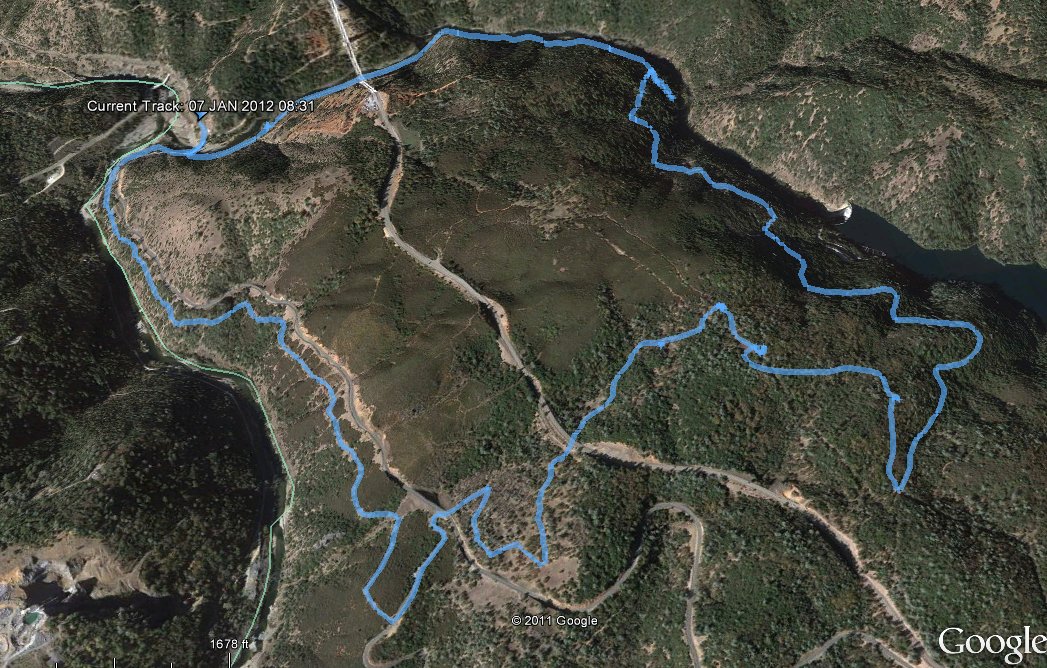
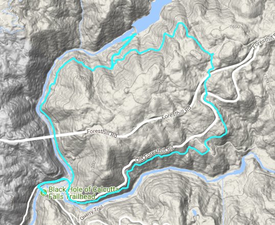
| General Notes: From the area, head north on highway 49 and cross the bridge over the American River. Turn right, toward the Foresthill bridge and cross the second bridge and start out on the Confluence Trail on the south side of the Old Foresthill Road. Follow the Confluence Trail for about 3 miles until you reach the access road for the OHV park, cross over this and then continue up the trail until you cross Old Foresthill Road. Continue further north and cross the newer Foresthill Road. When you reach Lake Clementine Road, head west (down) until you reach the access road for Lake Clementine. The trip down to the dam is optional, but a worthwhile 3/4 mile detour. Back on the road continue west, walking along the river and continuing under Froesthill Bridge until you reach the Confluence Parking area and the end of the loop. |
|||||