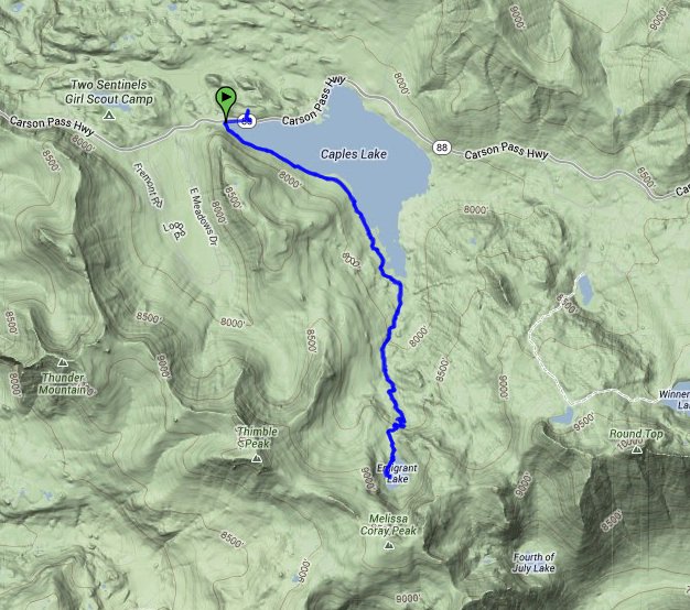
Distance: 9.8 Miles
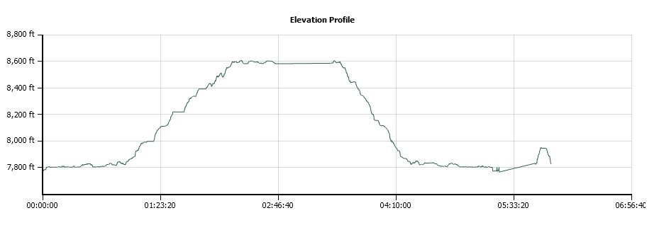
Vertical Gain: 700'
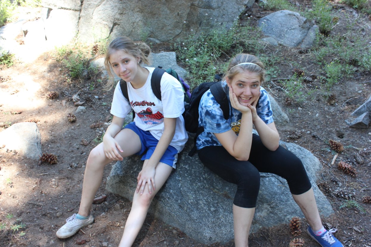
Group Size: 1
Hike Rating: Easy Moderate Hard Strenuous
 GPX for
this trip
GPX for
this trip
| Start Coordinates: | N 38 42.188, W 120 03.929 | End Coordinates: | Same as Start Coordinates | ||
| Car Shuttle Req'd: | No | Parking Directions: | Take Highway 88 to the parking area just at the west end of Caples Lake (past Kirkwood,) near the Caples Lake dam. There is a large paved parking area here as well as restrooms. | ||
| Hazards of Note: | Rocky trail on sections of
this trek. |
Crowd Factor: | Moderate. Emigrant Lake is a popular Alpine Lake destination in the summer, and is also a snowshoe and skiing area during the winter. | ||
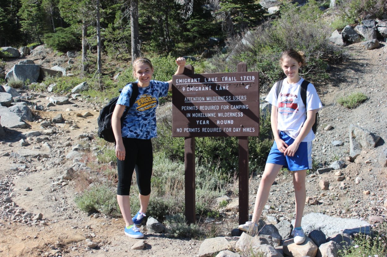
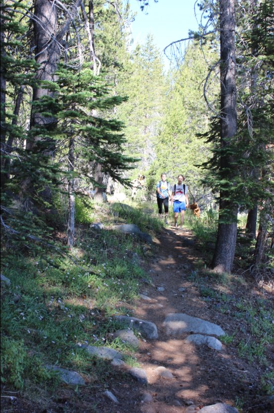
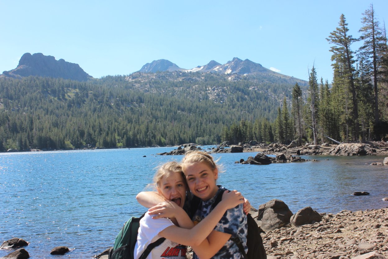
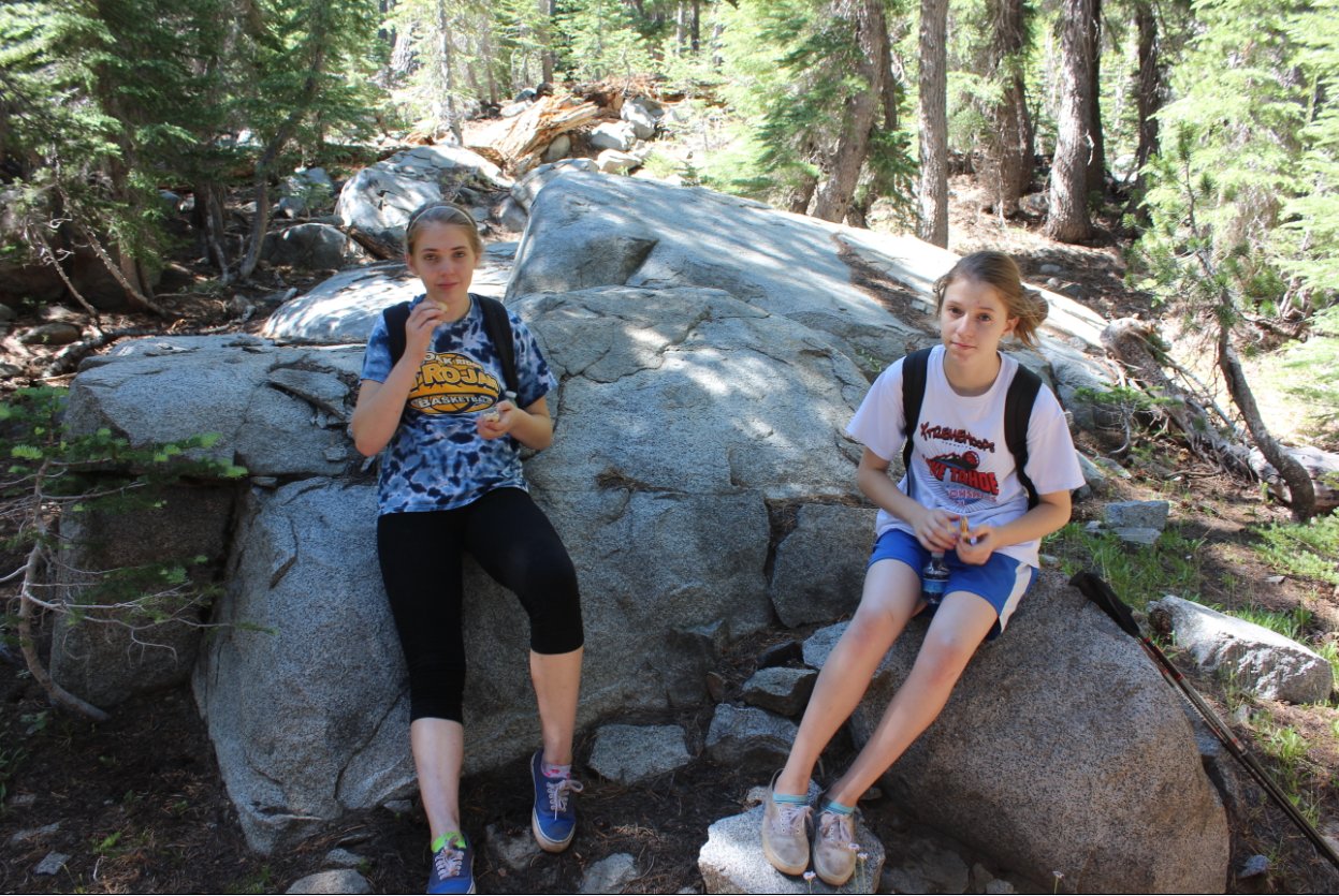
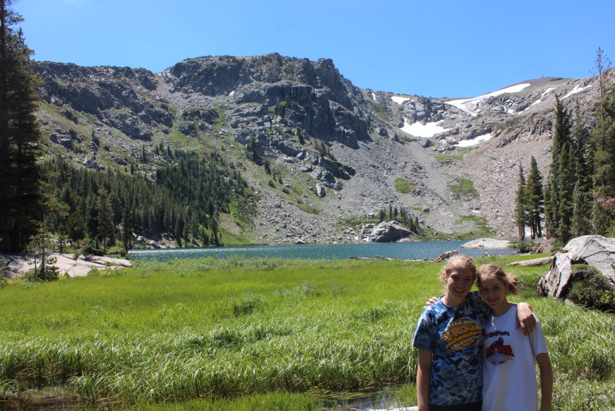
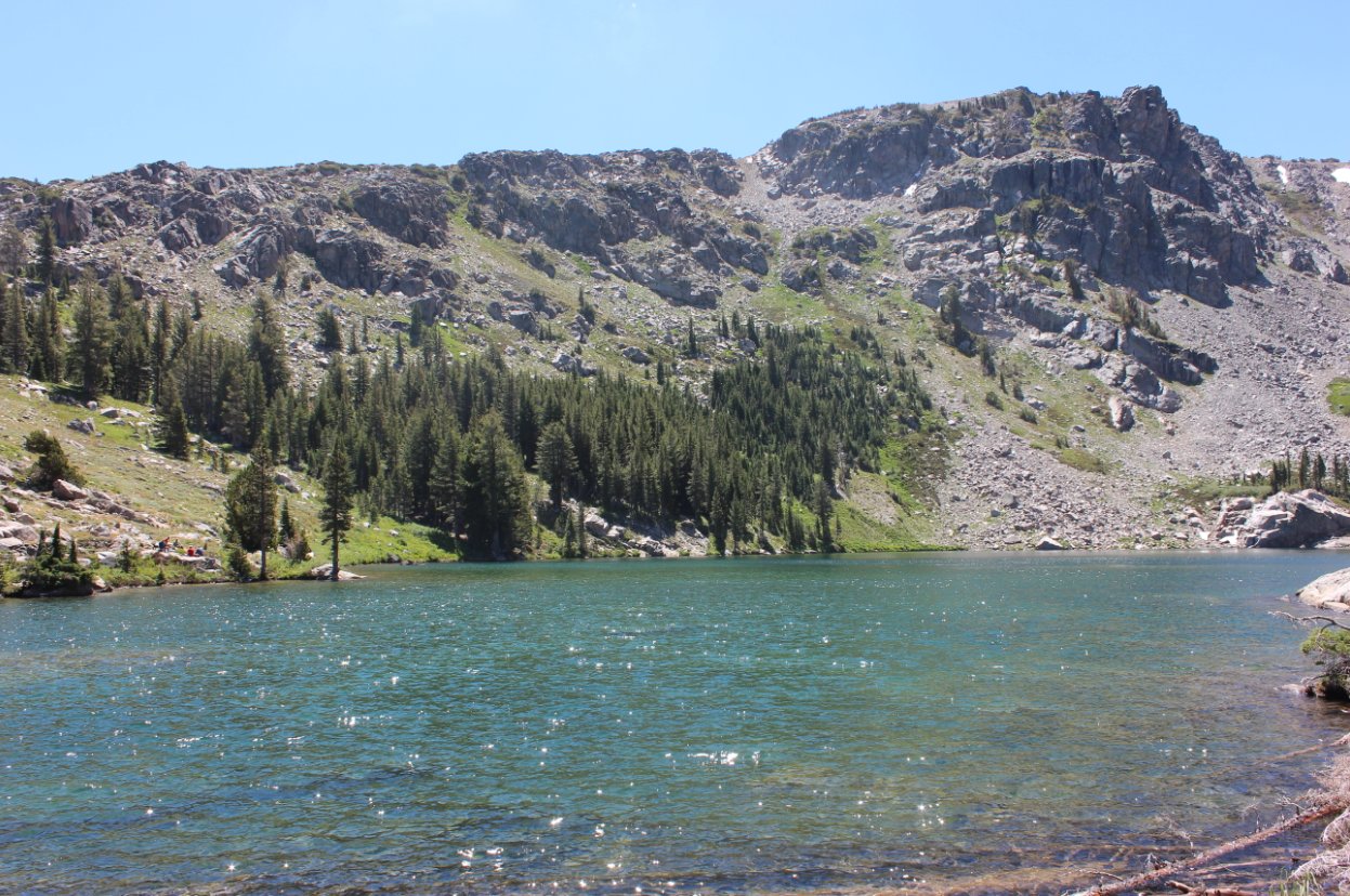
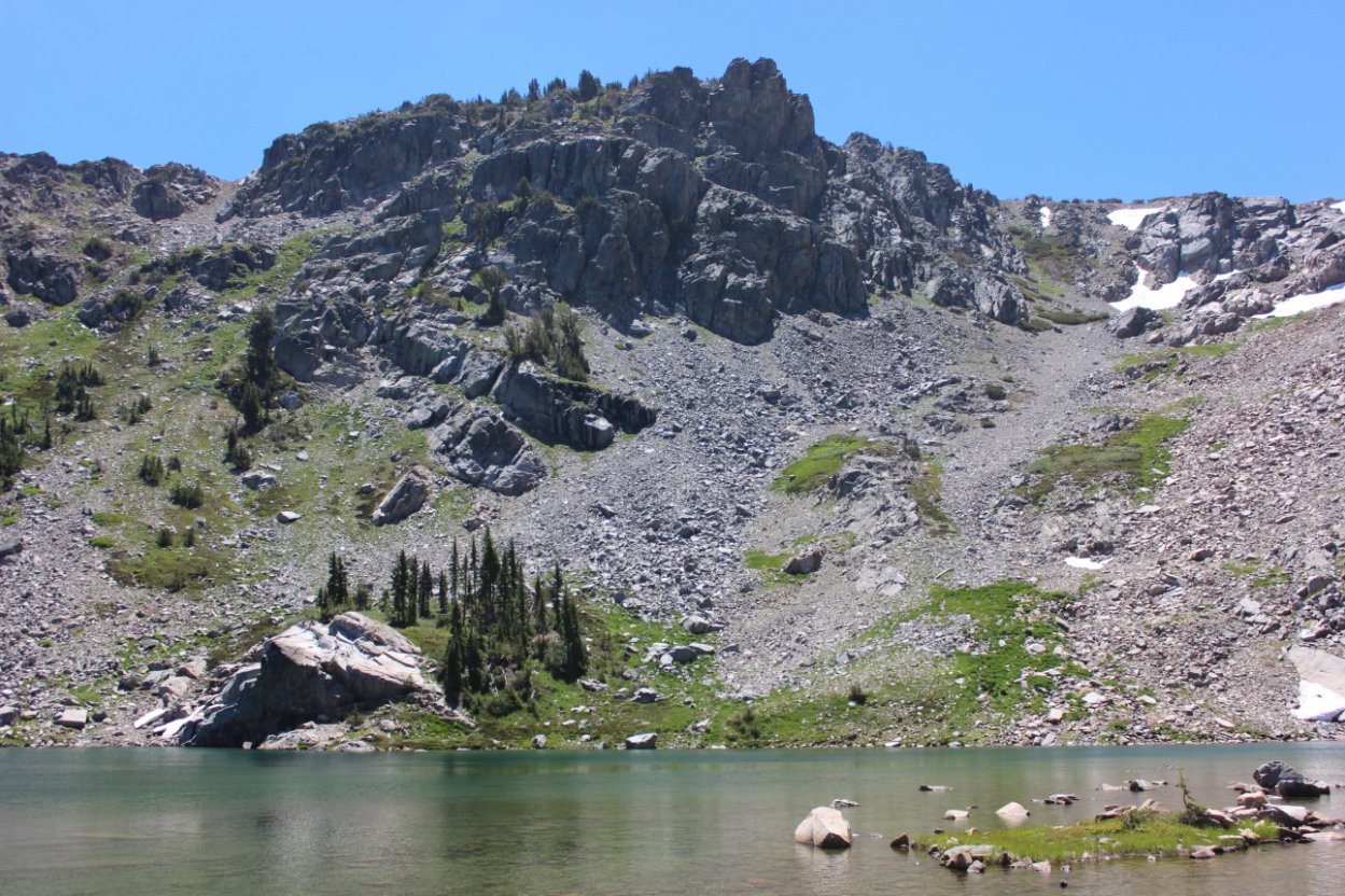
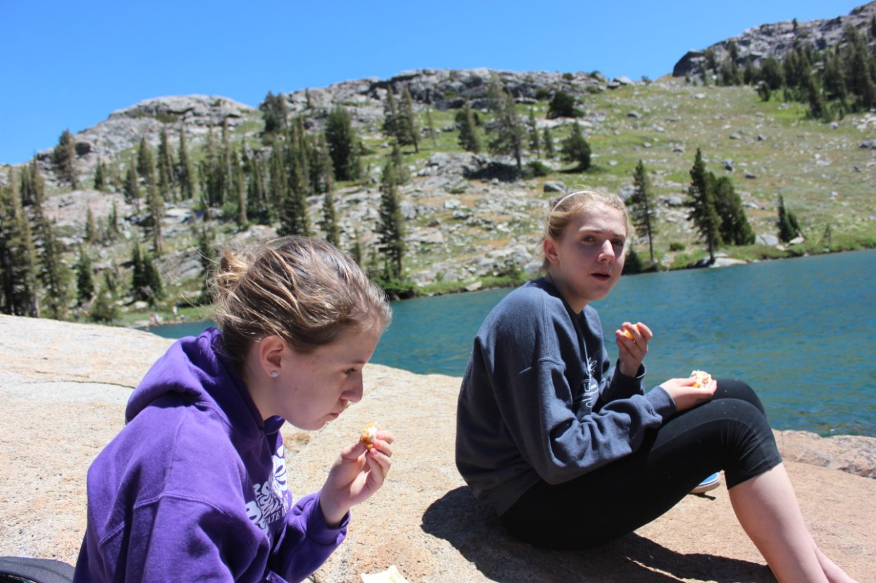
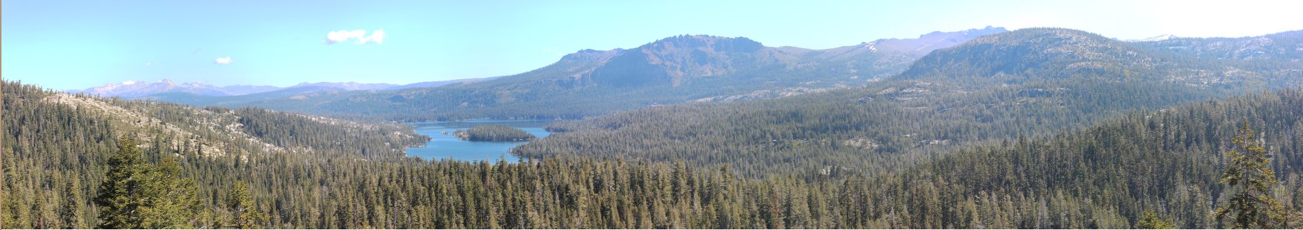
| General Notes: From the parking area you will start along the trail and follow the edge of Caples Lake for almost two miles. About 3/4 of the way along this section is a marker for the Emigrant Trail, which heads off to the right and up the mountain. Continue straight at this point toward Emigrant Lake. Once you reach the end of the lake the trail will being to climb significantly, heading up a forested path over granite until you reach the lake. The setting for the lake is spectacular, with mountains surrounding you on three sides with steep dropoffs down to the lake. Melissa Coray peak is directly to the south with the man-made structure at the top, with Covered Wagon Peak on the right and Peak 9795 on the left. |
|||||