Distance: 7.0 Miles
Vertical Gain: 1300'
Group Size: 3
Hike Rating: Easy Moderate Hard Strenuous
 GPX for
this trip
GPX for
this trip 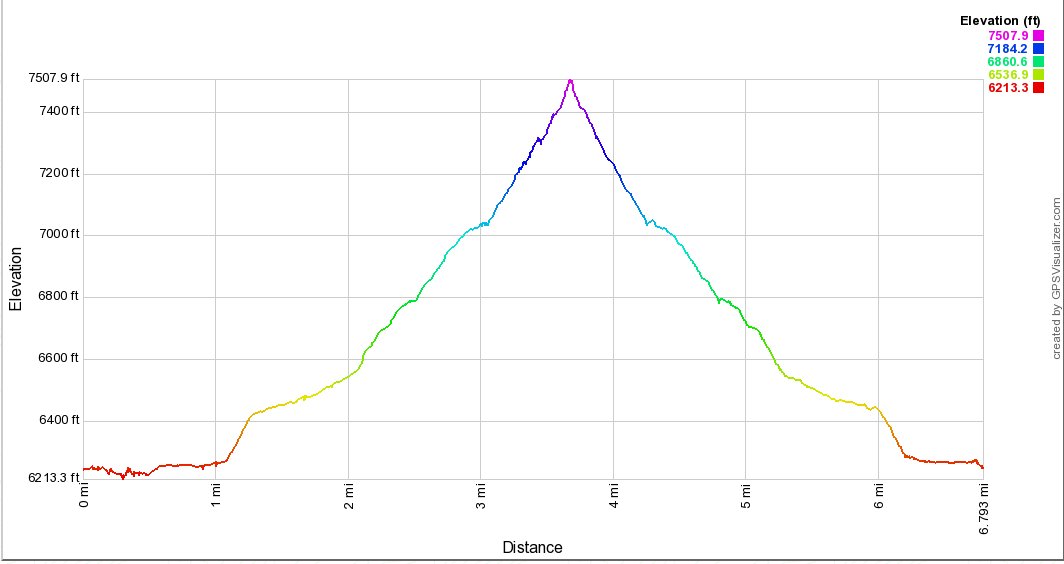
| Start Coordinates: | N 39 17.680 W 120 16.094 |
End Coordinates: | Same as Start Coordinates | ||
| Car Shuttle Req'd: | No | Parking Directions: | From
Interstate 80 take the Truckee/Donner State Park exit, which is west of
Truckee Proper. Drive to the Chevron gas station and follow the paved
road for 0.4 miles to where the pavement ends and the road forks. Take
the left fork (the gate should be unlocked) and drive 0.1 mile to
another fork in the road. Take the right fork. There is another gate to
drive through 0.4 miles down this road. Three miles past this get is a
180 degree bend in the Union Pacific Railroad. This is the end of the
road. Do not attempt to cross the railroad tracks with any vehicle. There is no need to go into Donner State Park to get to the trailhead as of 2019. |
||
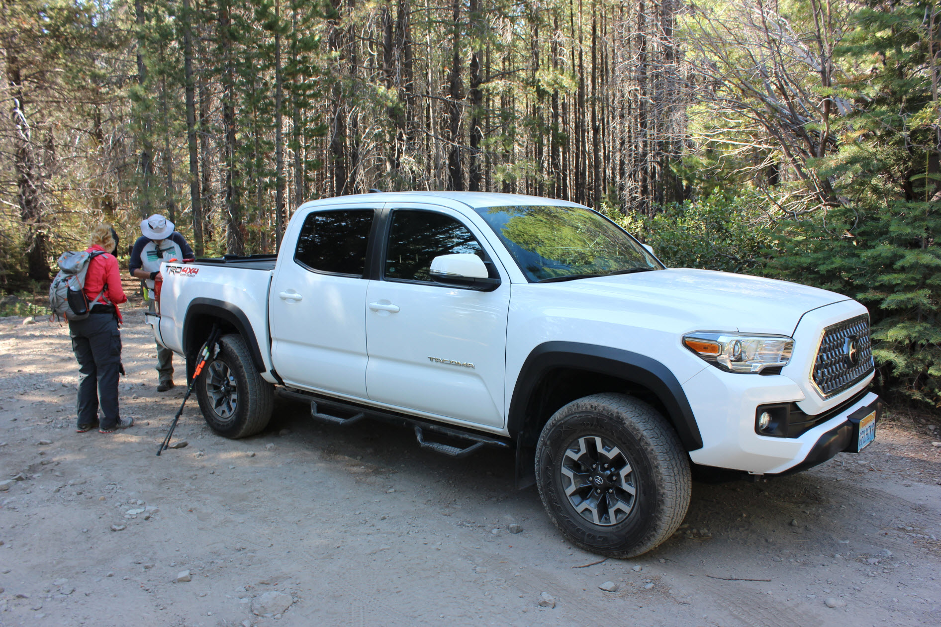
| Hazards of Note: | Getting to the parking are as described
might require high vehicle clearance or 4WD. |
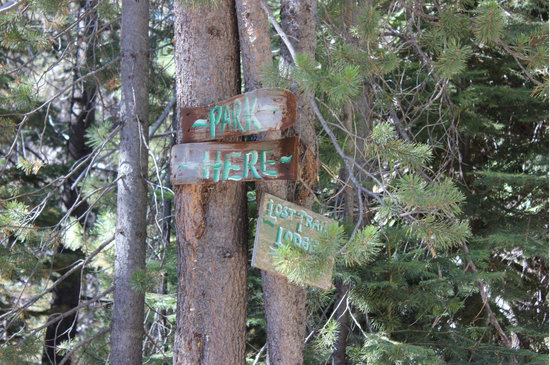
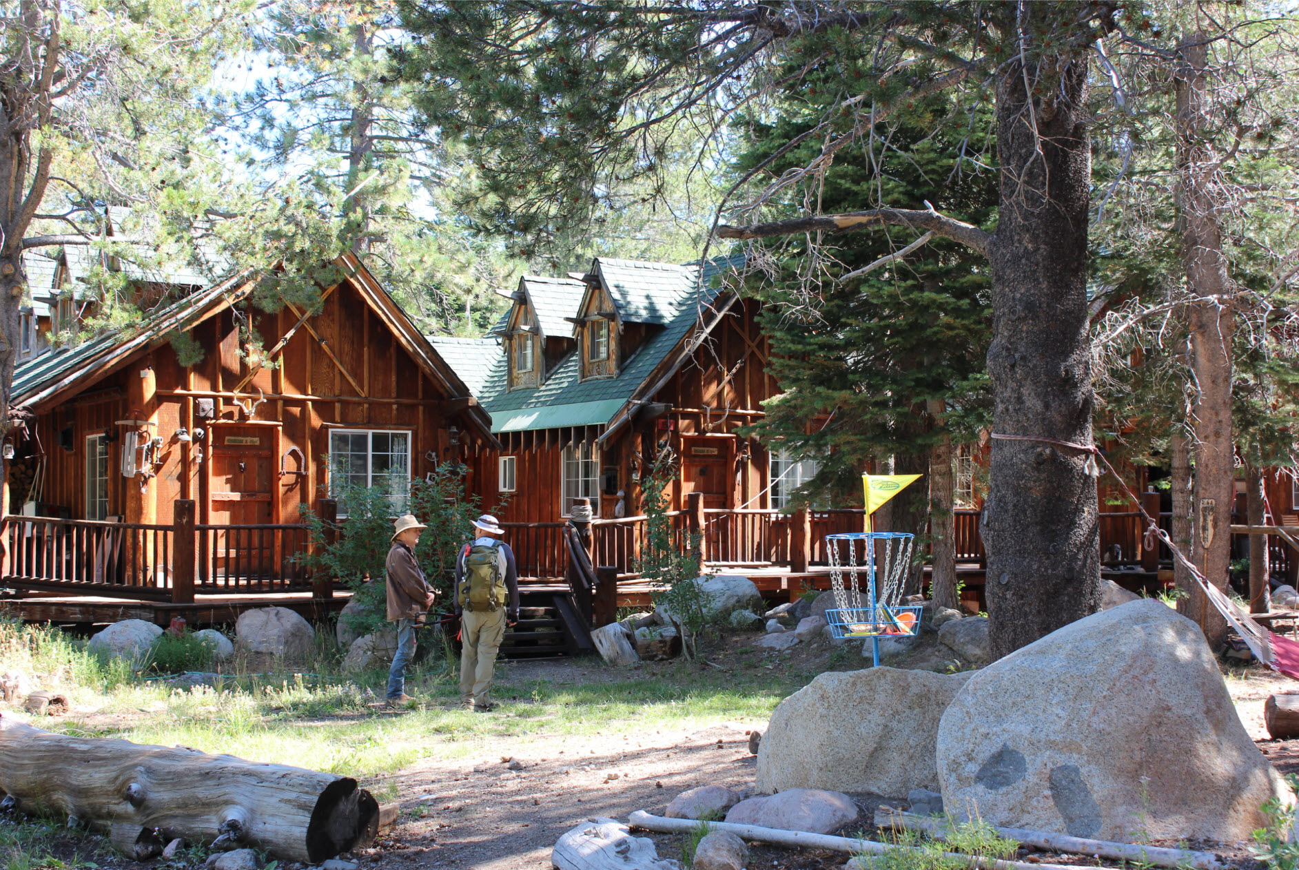
Crowd Factor: | Minimal. Within the first mile you will go past the Lost Trail Lodge, but after that you will potentially only run into others in their 4WD vehicles. | ||
| General
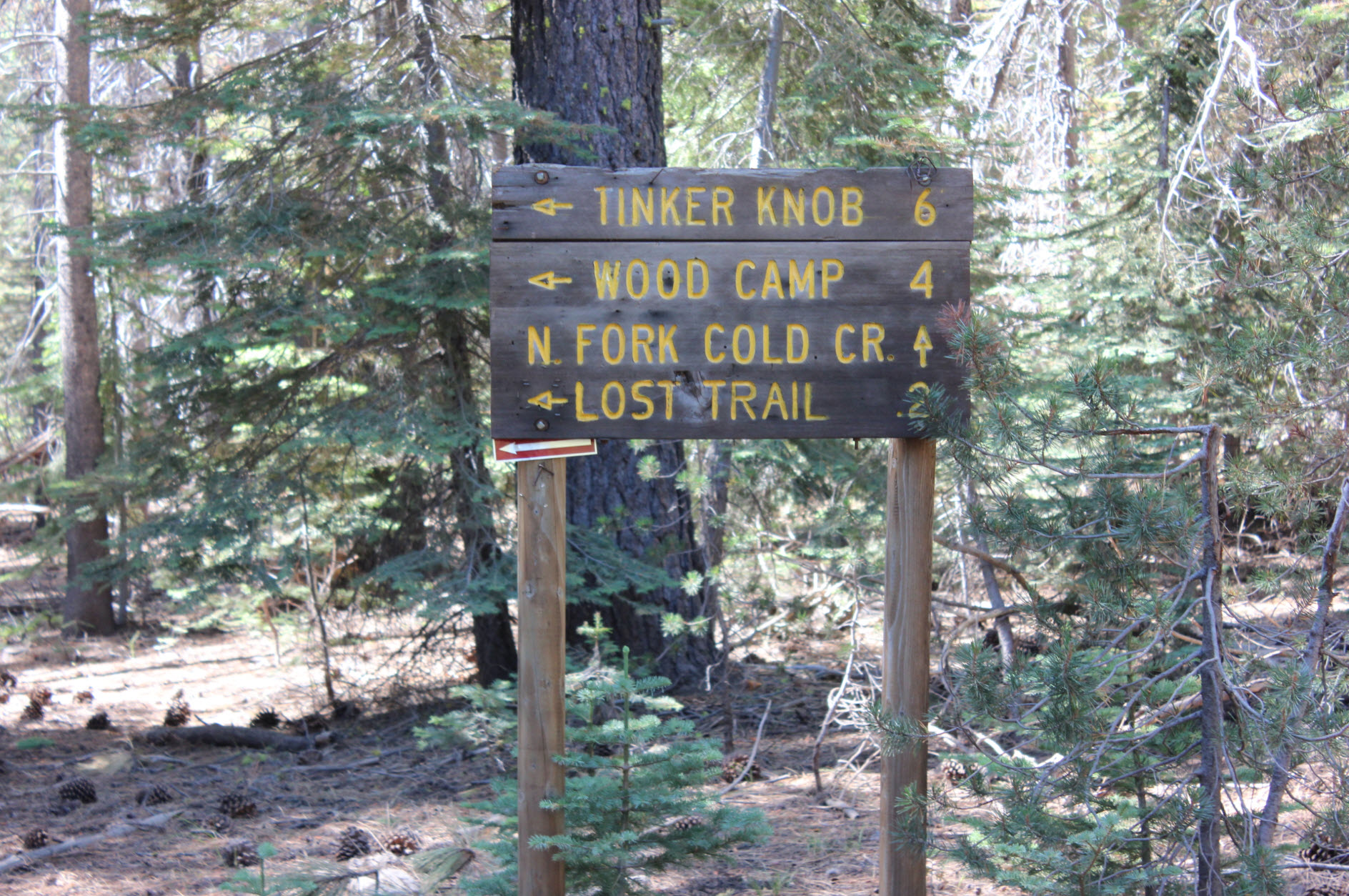
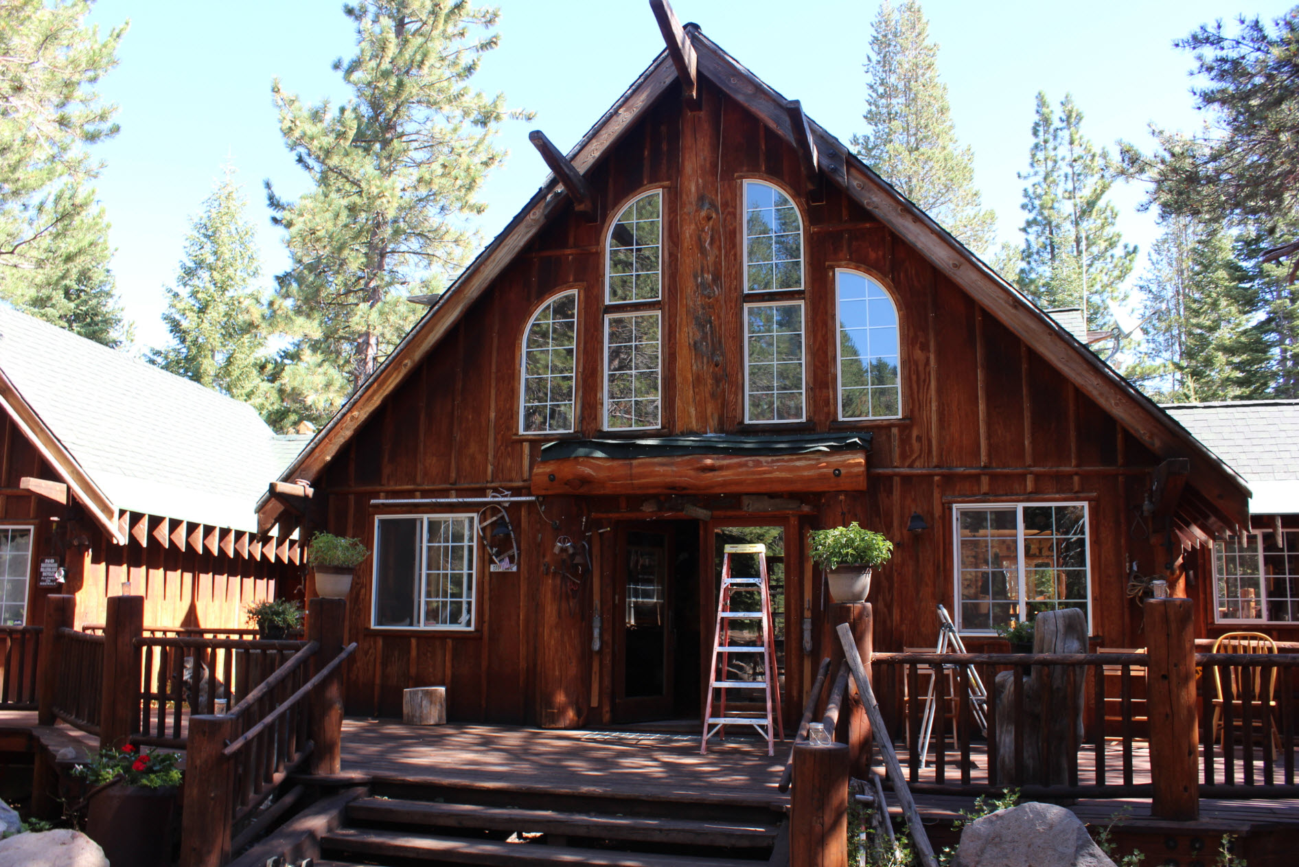
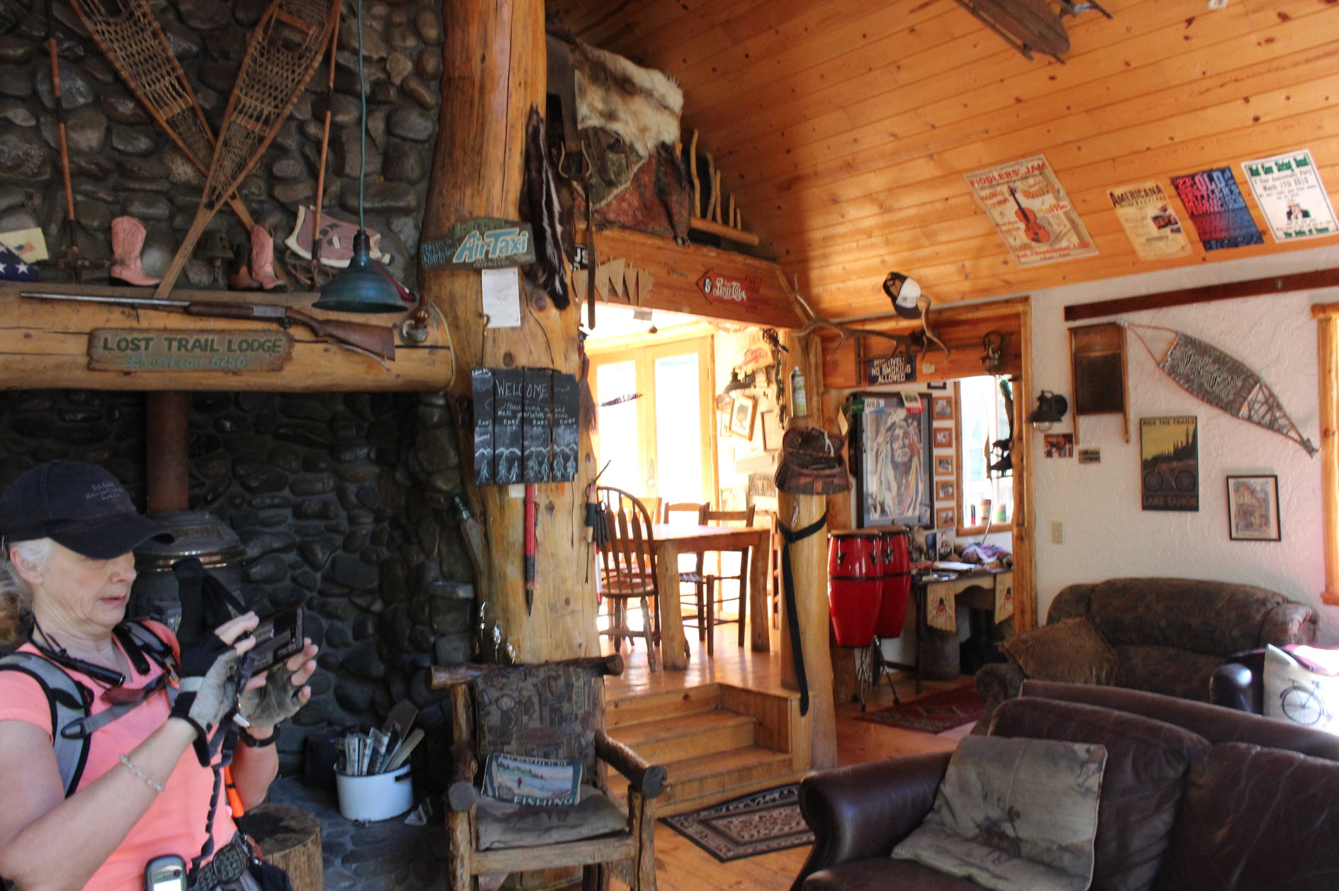
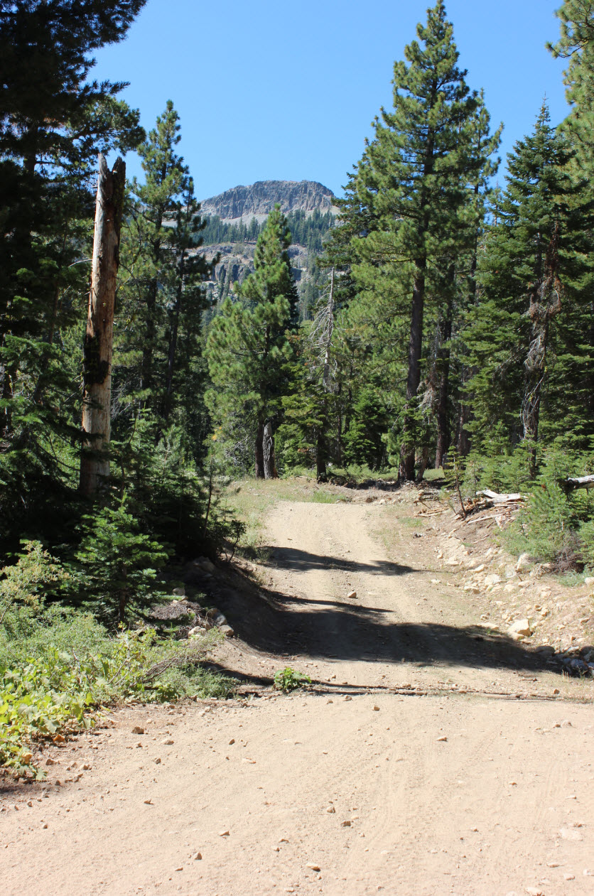
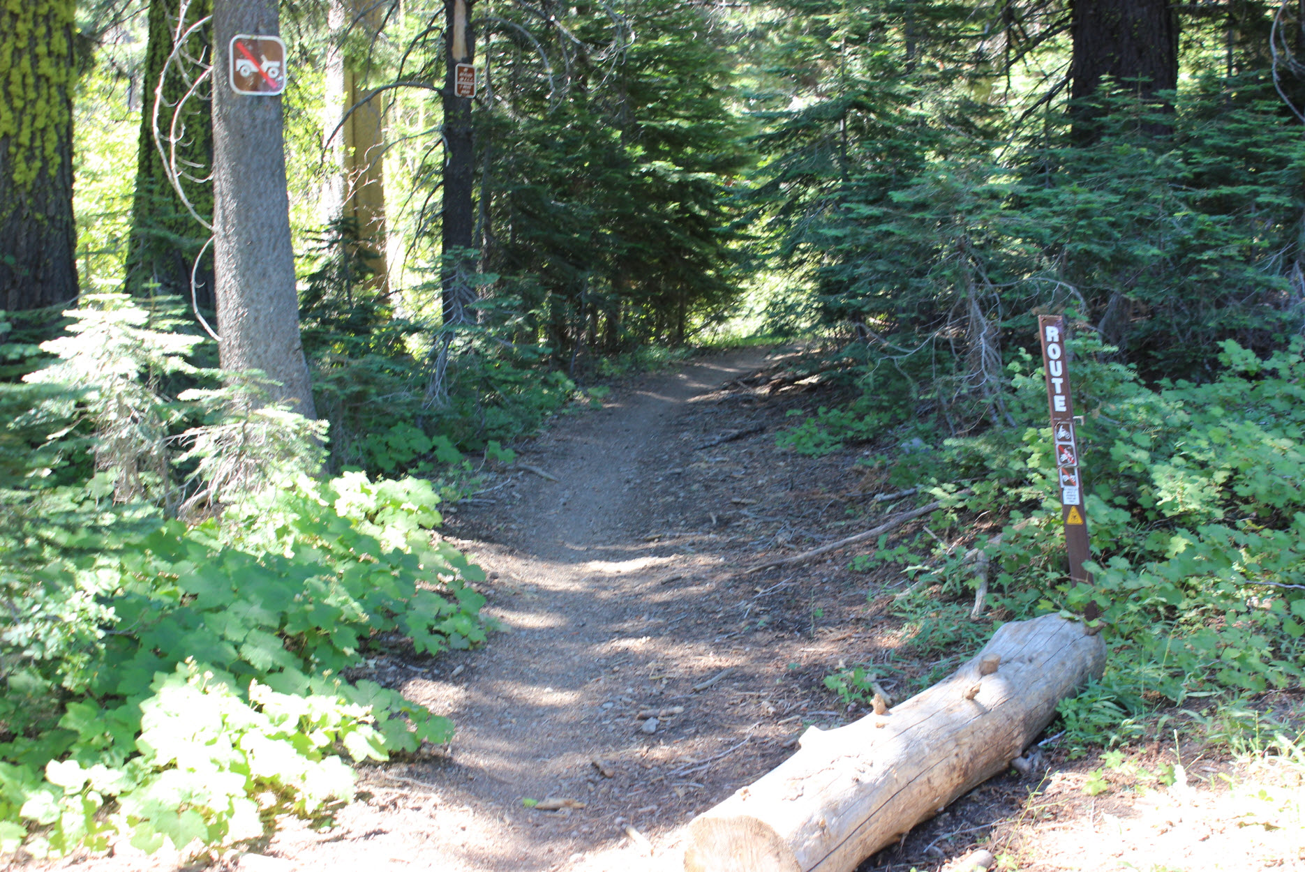
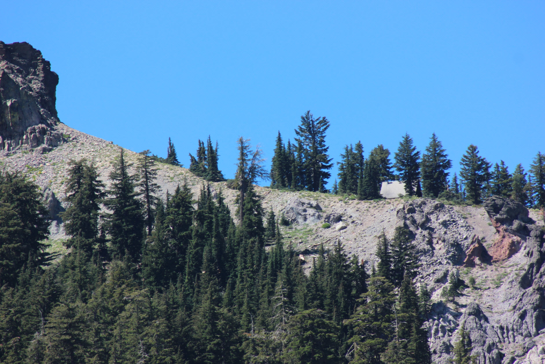
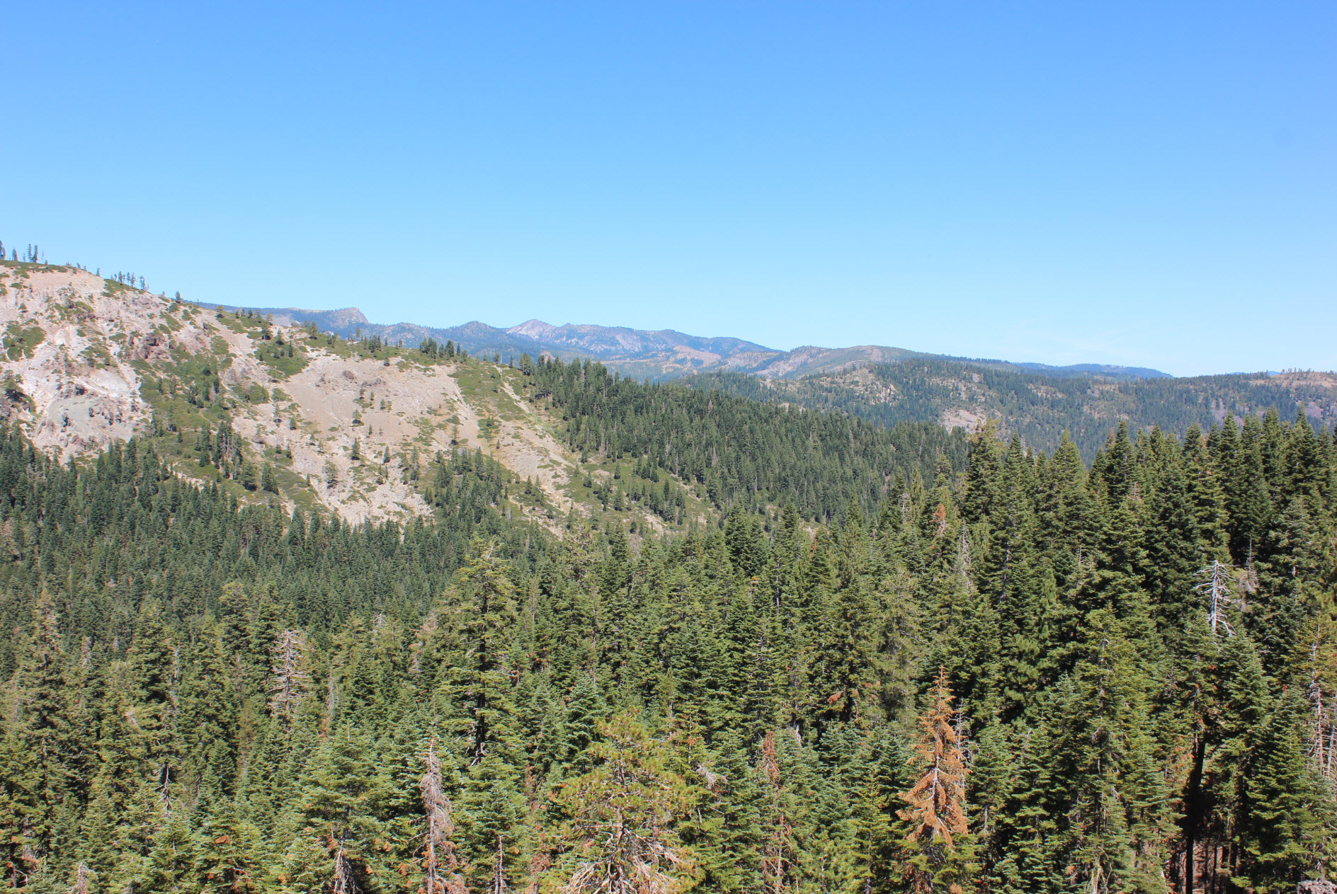
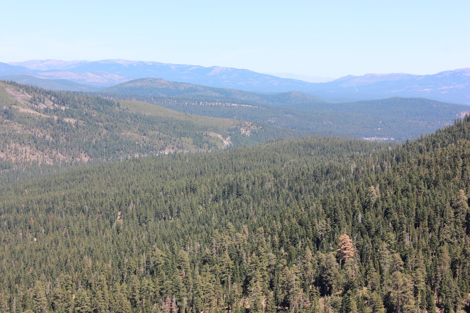
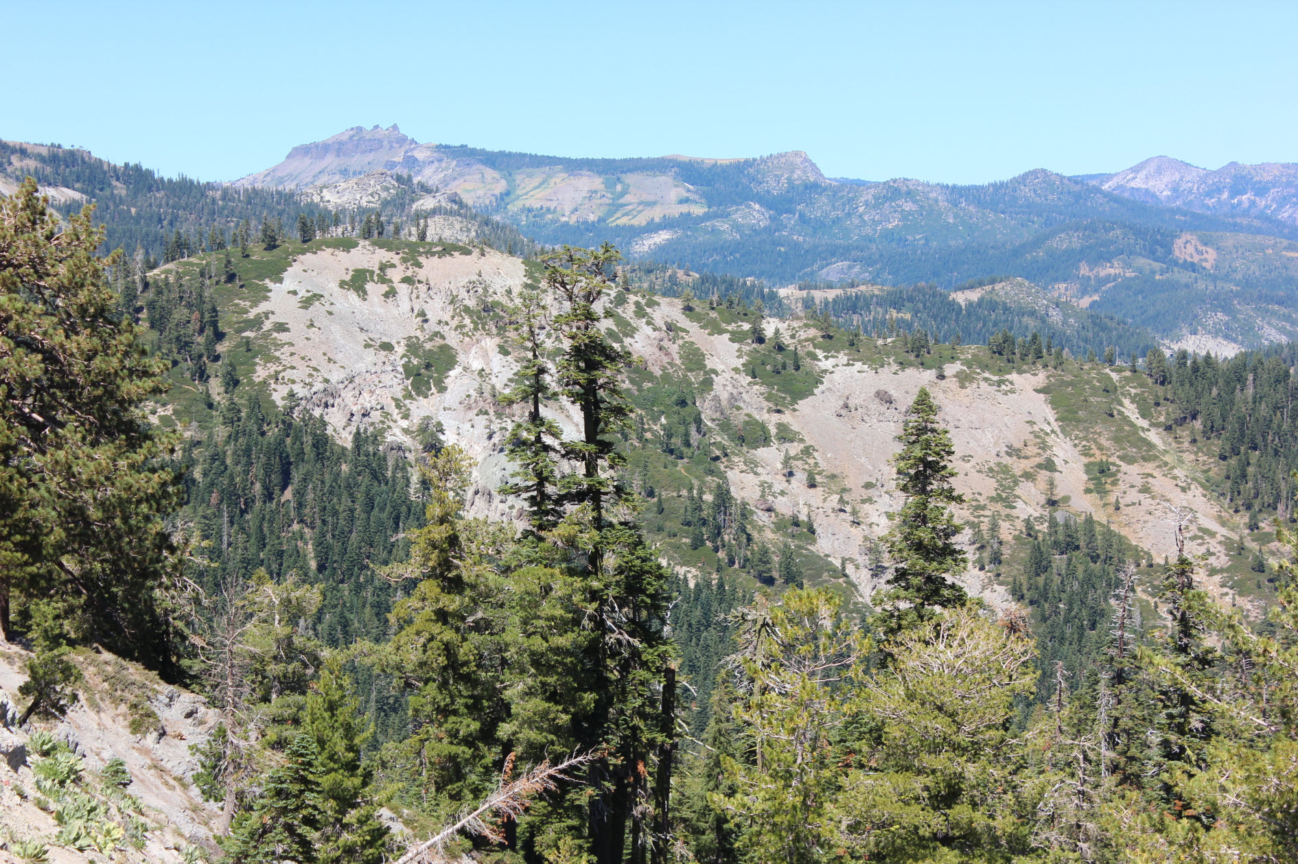
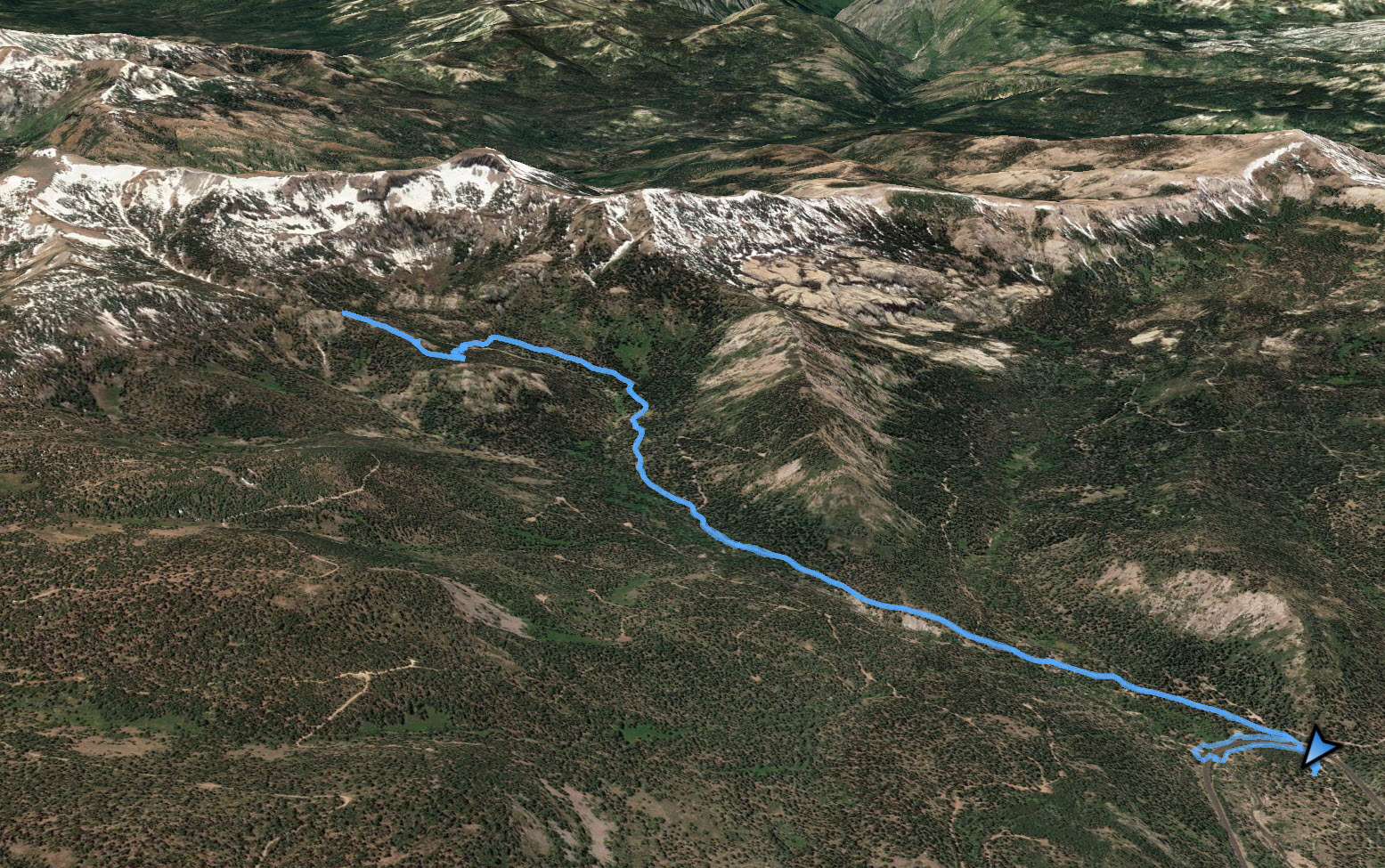
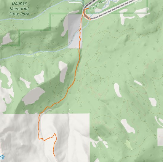
Notes: From the parking area you can continue down the dirt road and pass under the trail tracks via a culvert. If you do this, cross the streambed and head west to pick up the jeep trail which you will follow for the next couple miles. If you wish to avoid the 1/2 mile diversion through the culvert, you can cross the train tracks just south of the parking area, but be aware the tracks are STILL IN USE and this could potentially be dangerous or lethal. About a mile up the dirt road you will come across the Lost Trail Lodge, a fascinating place which was built by the current owner about 20 years ago. It can accomodate up to about 30 people per night, and more information on this location can be found at http://www.losttraillodge.com. Continue on the road for a total distance of about 2.5 miles from the parking area, almost completely in the forested canyon until the 4WD road ends and the path becomes a single track hiking/biking trail. From this point the trail will begin to climb above the trees, offering great views of Castle/Basin Peaks to the north, Anderson and Tinker Knob to the west and the saddle leading up to Tinker Knob to the south. The views open up quickly as you find yourself clear of the trees. The trail is very steep from this point on, and with it being still another mile and a half to Tinker Knob from where we found ourselves at our turn-around time we didn't have the chance to venture further. In the future, a good option would be to drive past the parking area, through the culvert under the rails and up the road to the end of the 4WD track and save yourself 5 miles of hiking to reach the top of the canyon. |
|||||