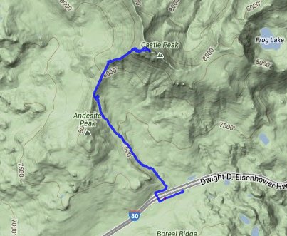
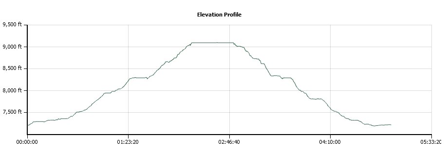
Distance: 6.5 Miles
Vertical Gain: 2000'
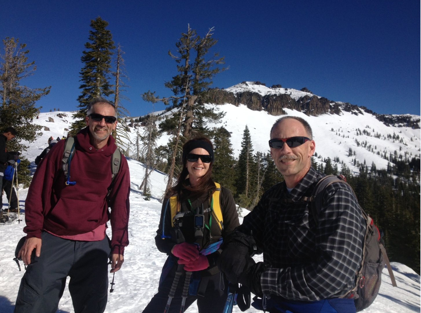
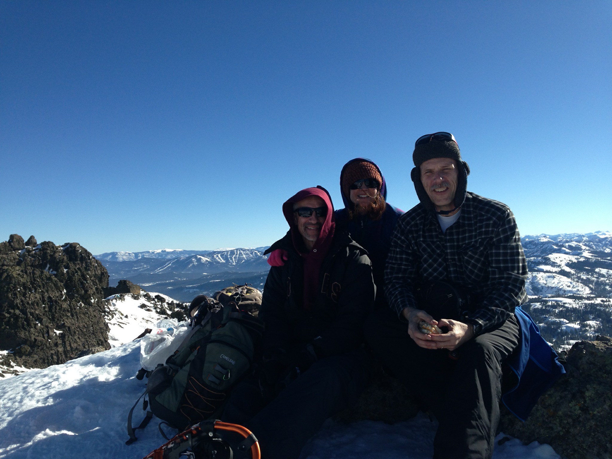
Group Size: 3
Hike Rating: Easy Moderate Hard Strenuous
 GPX for
this trip
GPX for
this trip
| Start Coordinates: | N 39 20.399 W 120 20.631 | End Coordinates: | Same as Start Coordinates | ||
| Car Shuttle Req'd: | No | Parking Directions: | Take Highway 80 to the Castle Peak/Boreal Ridge Road exit. Continue straight off the exit until you reach the parking area near the PCT trailhead in this location. | ||
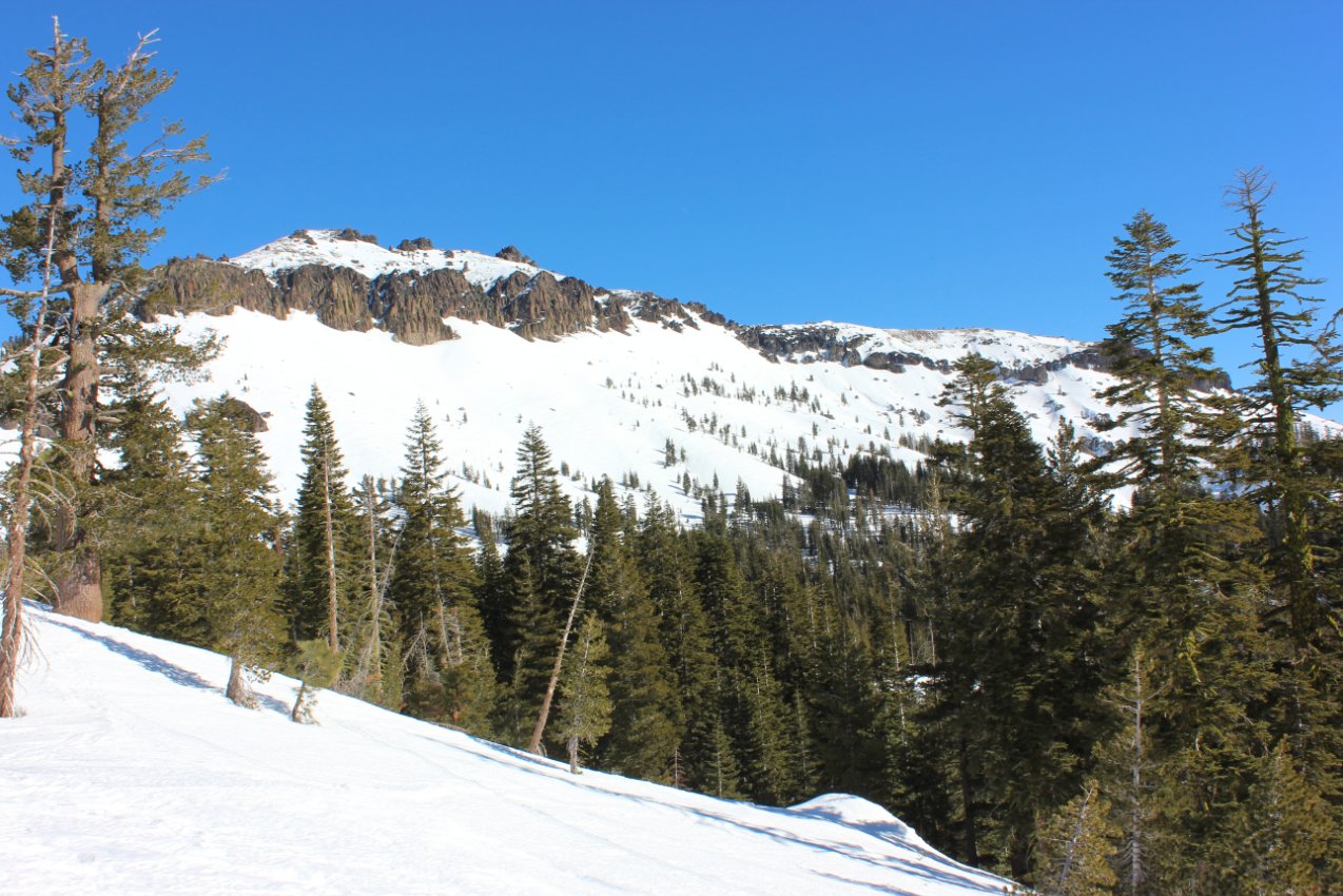
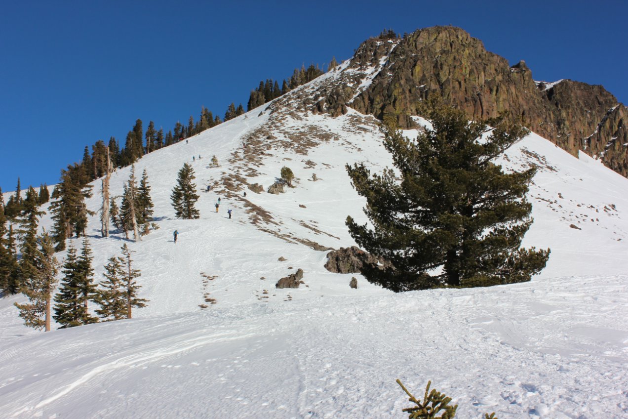
| Hazards of Note: | The true summit of Castle Peak requires a 30 foot climb up a sheer volcanic (basalt) formation and should not be attempted alone. | Crowd Factor: | Expect to have a few hikers on
the trail with you, especially on a weekend. This is a very
popular trail in both summer and winter. The PCT in this area will probably also have people on it at most times. |
||
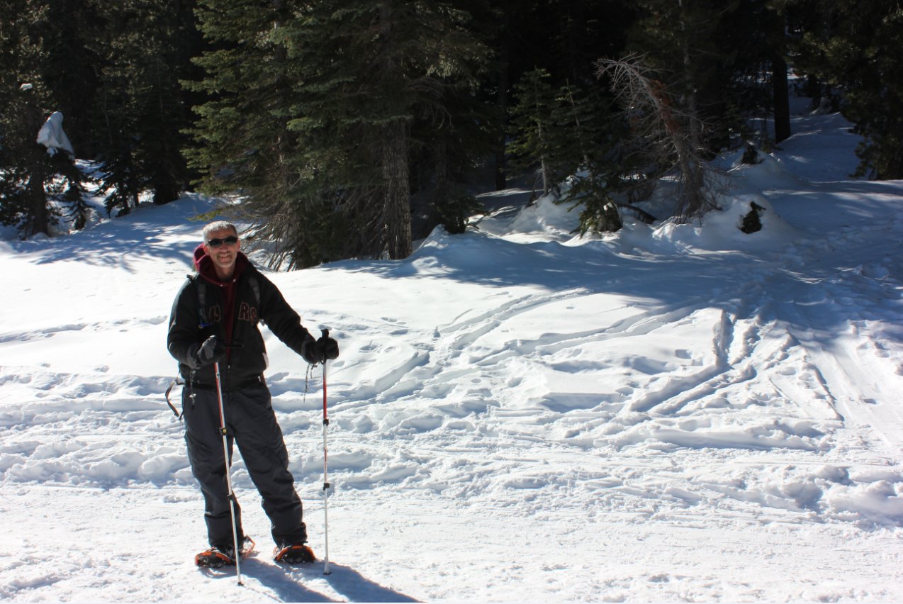
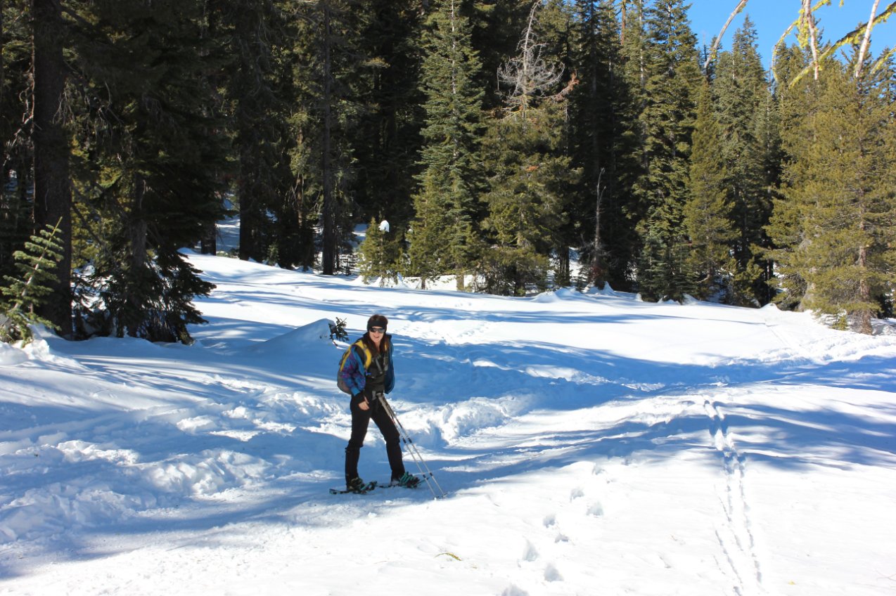
| General Notes: For our snow-shoe hike we parked across the highway from the trailhead (where indicated above and had to hike underneath the freeway to reach the trailhead. |
|||||