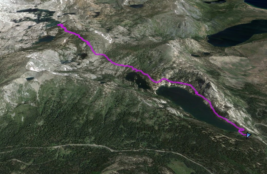
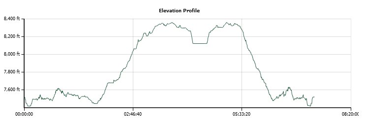
Distance: 13.0 Miles
Vertical Gain: 1000'
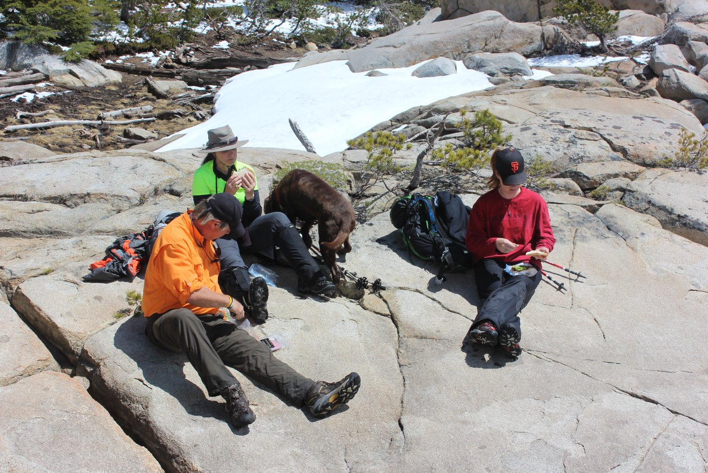
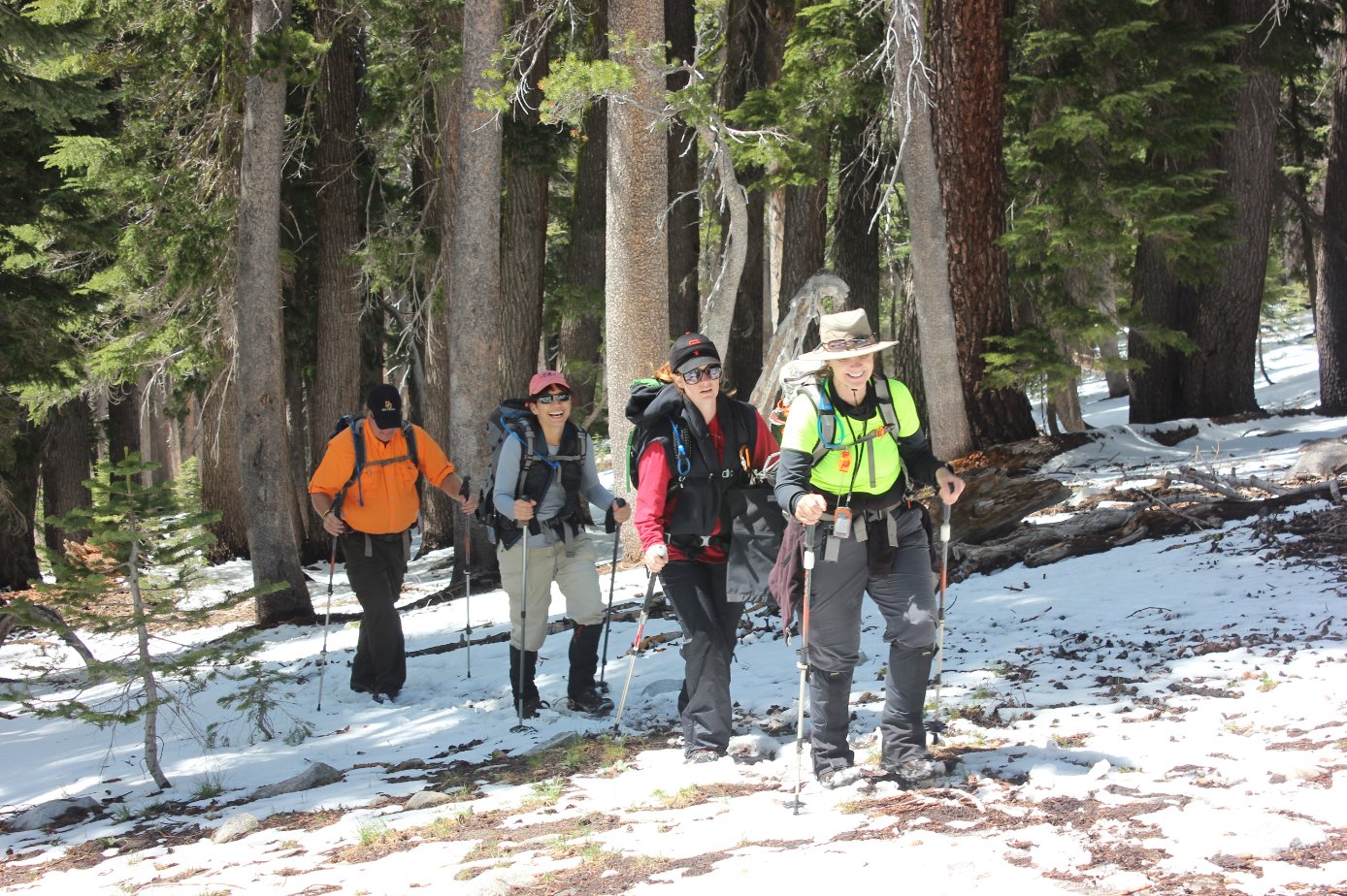
Group Size: 7
Hike Rating: Easy Moderate Hard Strenuous
 GPX for
this trip
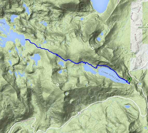
GPX for
this trip
| Start Coordinates: | N 38 50.063, W 120 02.641 or overflow parking at N 38 50.022, W 120 02.552 |
End Coordinates: | Same as Start Coordinates | ||
| Car Shuttle Req'd: | No | Parking Directions: | Take Highway 50 to just west of Echo Summit, and then turn onto Johnson Pass Road (Lincoln Highway) from the road (marked with signs to Echo Lake.) Turn left on Porcupine Road, which becomes Echo Lakes road. Follow this road to the parking coordinates. | ||
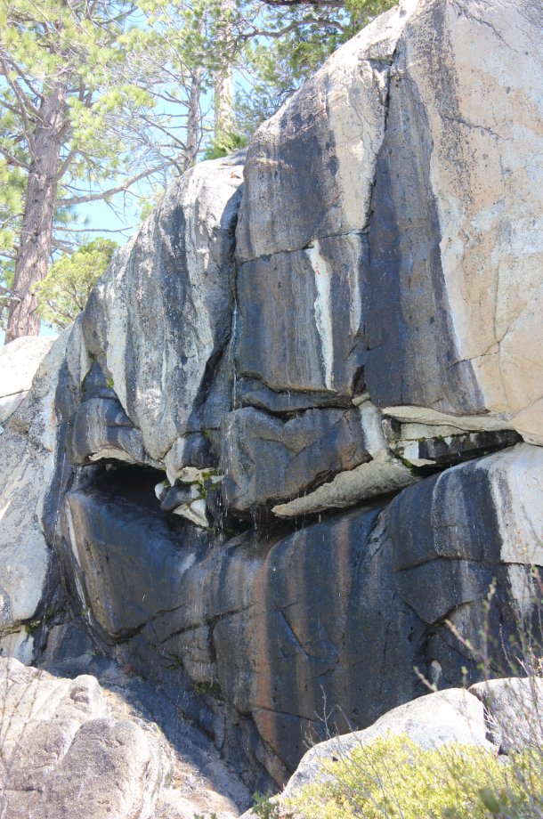
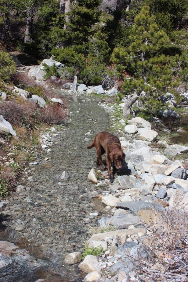
| Hazards of Note: | The first couple miles of the hike are along a very rocky section of the Pacific Crest Trail. Watch footing along this route. | Crowd Factor: | Moderate to High. This is a popular entrance into Desolation Wilderness and many of its most popular destinations. Get there early on a weekend to find parking near the trailhead. | ||
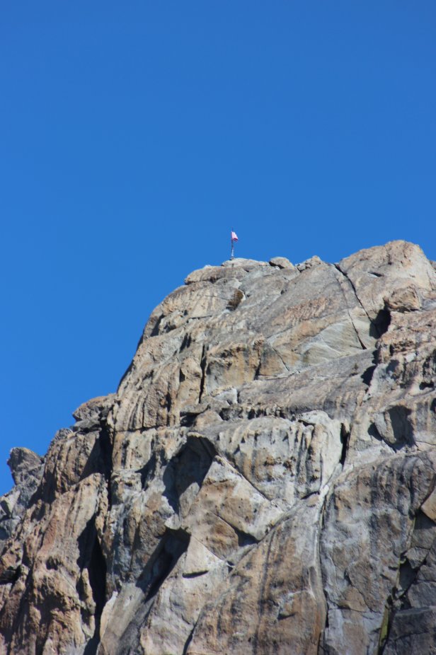
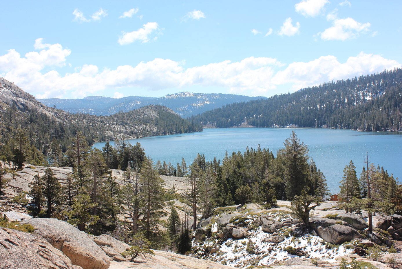
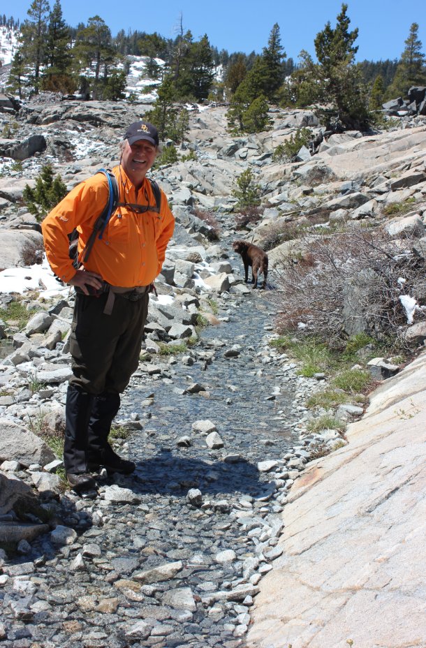
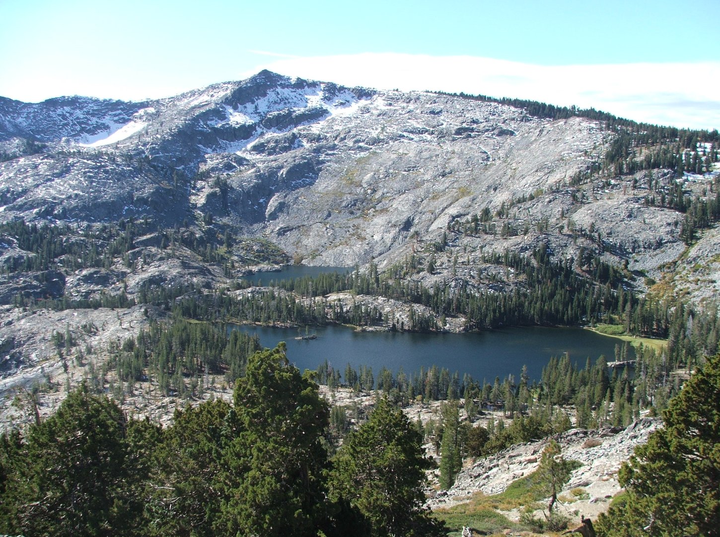
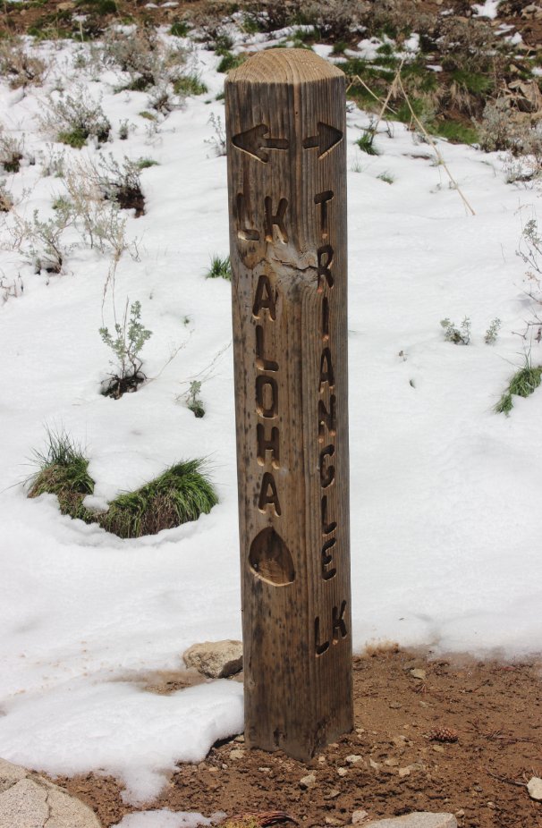
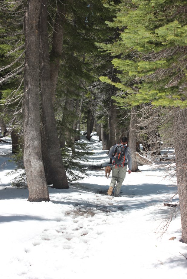
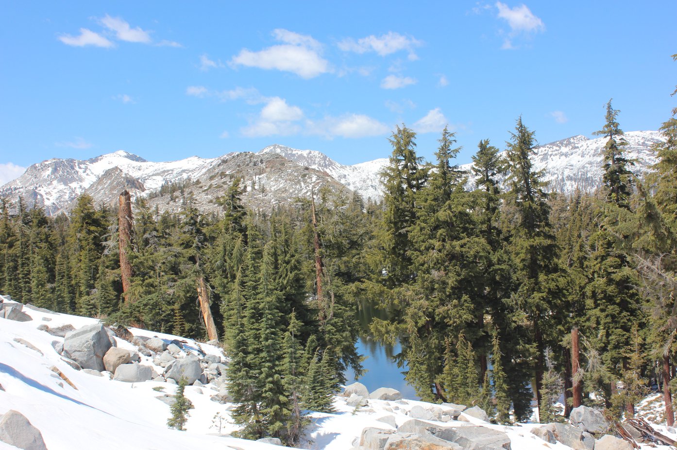
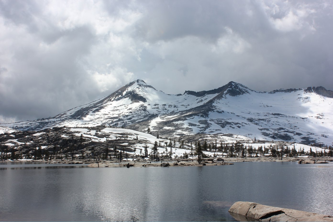
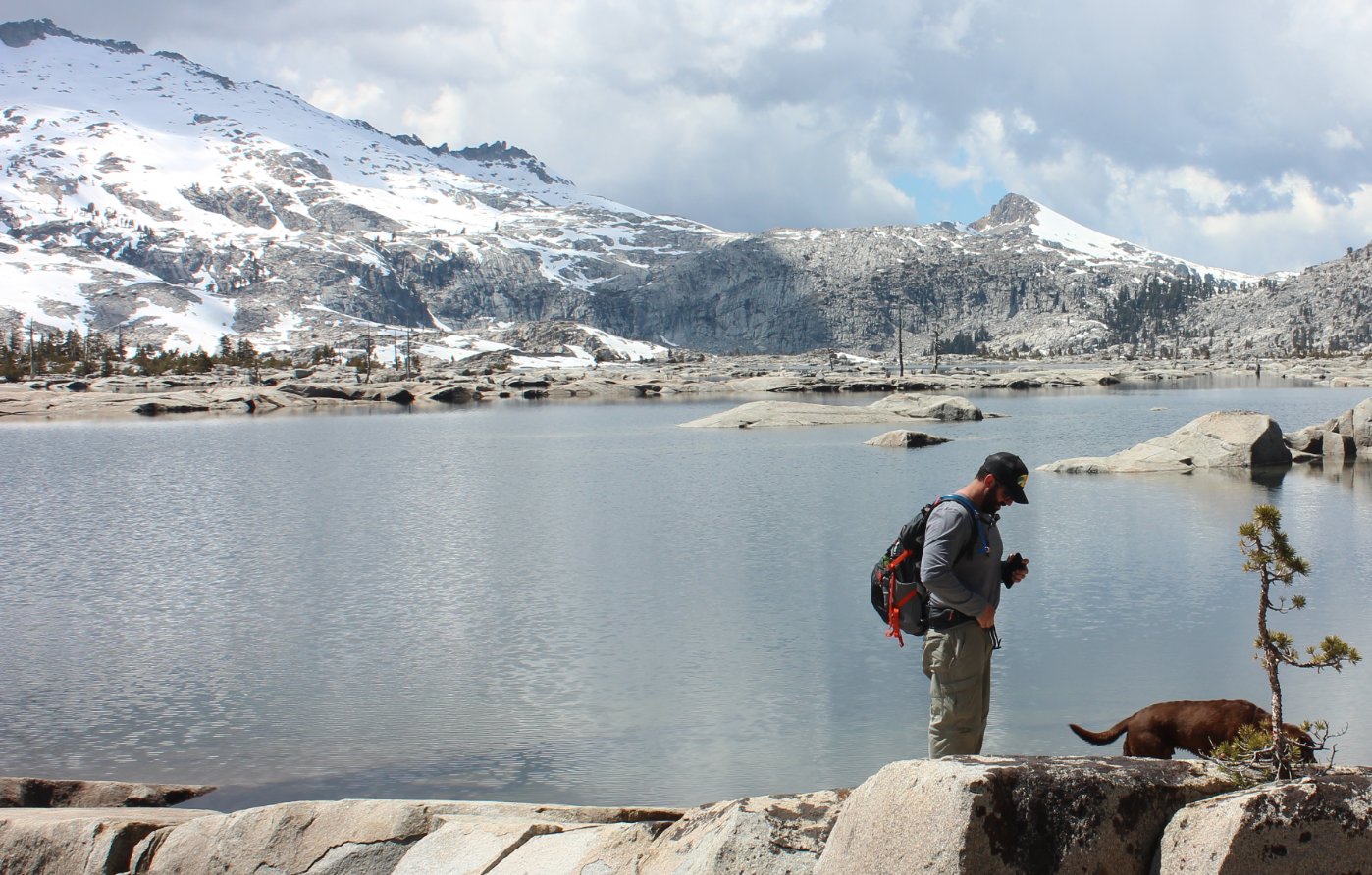
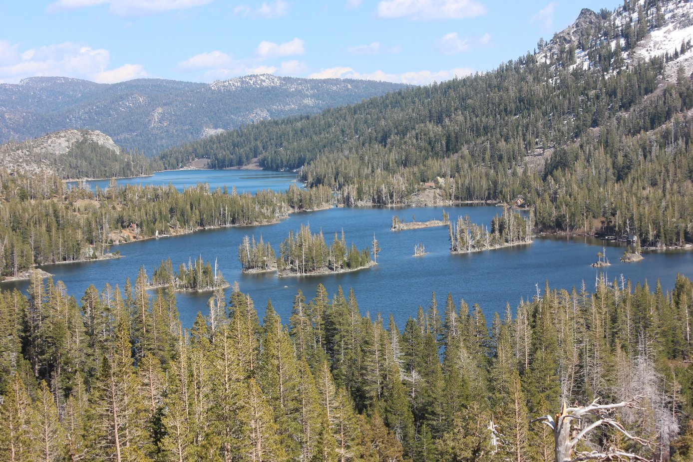
| General Notes: Find the trailhead at the south end of Lower Echo Lake, just past the lodge on the east side of the lowest parking lot. There is a kiosk here for Desolation Wilderness permits. Cross the metal bridge going across the lake outlet and pick up the trail from this spot. NOTE: During the summer you can choose to take the boat shuttle to the far end of upper Echo Lake from this spot for a nominal cost, and that will save you 2 1/2 miles each direction that you use this service. Once you pass the Upper Echo Lake on the trail or from the end of the shuttle, you will see the Desolation Wilderness signpost indicating entrance into the area. If you wish to take a side trip to the quiet Triangle Lake, there is a steep junction up to your right soon after the Wilderness sign that you will need to turn at. Otherwise, continue on the way to Lake Aloha to the west and slightly north, following the Pacific Crest Trail for the next few miles. There are two junctions on the left which will both take you to Lake of the Woods, a worthy destination as well but a means of adding additional mileage to your trek. As you near Lake Aloha, there are two turnoffs marked to the left that will wind around to the lake, or continue on the PCT and you will also reach the lake a little further north than the other trails will take you. There are many areas here to sit and admire both the lake and the Crystal Range in the background, and you can choose either to return back the way you came, or hike a little to the south and head toward Lake of the Woods. This is a worthy diversion from the trail as it winds around the base of Keith's Dome and eventually back to the Pacific Crest trail and the nearly four miles back to the start of the hike. Since this is a hike into Desolation Wilderness, you will need a day permit (free at the trailhead) and the group size limit is 12. |
|||||